
Population 220 (2011) Sovereign state United Kingdom Local time Saturday 12:30 AM Dialling code 01946 Civil parish Ennerdale and Kinniside | OS grid reference NY069159 Post town CLEATOR UK parliament constituency Copeland | |
 | ||
Weather 9°C, Wind S at 21 km/h, 93% Humidity | ||
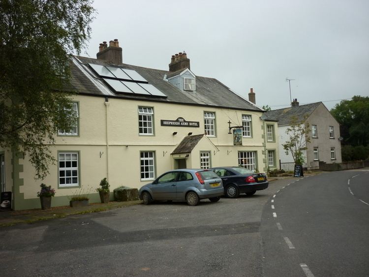
Ennerdale Bridge is a hamlet in the county of Cumbria, England. The nearest civil parish is called Ennerdale and Kinniside. It had a total population taken at the 2011 census of 220.
Contents
Map of Ennerdale Bridge, Cleator, UK
Description
Ennerdale Bridge lies at the confluence of Croasdale Beck and the River Ehen and is on the border of the Lake District National Park that uses both watercourses as its boundary. The nearest town is Cleator Moor to its west. Ennerdale Bridge appear in many versions of the Coast to Coast Walk and is 13 miles (21 km) from its western end.
The parish church, dedicated to St Mary, is Victorian - dating from 1858 - in the Romanesque style.
Etymology
The name means 'Anund's valley', from 'Anundar', genitive of the Old Norse personal name 'Anundr'/'Qnundr', and 'dalr' 'valley', cross-influenced by 'Ehen', the name of the local river.
Governance
The civil parish falls in the electoral ward of Ennerdale. This ward stretches north to Lamplugh with a total population taken at the 2011 census of 1,025.