Local time Saturday 12:15 PM | ||
 | ||
Municipal district Providensky Municipal District Rural settlement Enmelen Rural Settlement Administrative center of Enmelen Rural Settlement Weather -1°C, Wind S at 14 km/h, 95% Humidity | ||
Enmelen by larisa tnanaut
Enmelen (Russian: Энмелен; Chukchi: Энмылъын; Yupik: Ынмылин) is a village (selo) in Providensky District of Chukotka Autonomous Okrug, in the Far Eastern Federal District of Russia. Population: 367 (2010 Census); Municipally, Enmelen is subordinated to Providensky Municipal District and incorporated as Enmelen Rural Settlement.
Contents
- Enmelen by larisa tnanaut
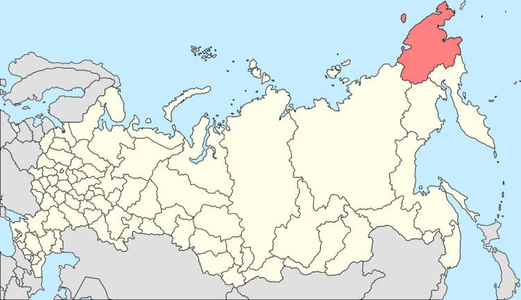
- Map of Enmelen Chukotka Autonomous Okrug Russia 689275
- Albert ragtuvje enmelen chukotka russia
- Geography
- Demographics
- Economy
- Climate
- References
Map of Enmelen, Chukotka Autonomous Okrug, Russia, 689275
Albert ragtuvje enmelen chukotka russia
Geography
Enmelen (lit. "craggy" in Chukchi) is situated near Cape Bering well over 200 km from Provideniya. The settlement is not connected by road to any other places. It is populated by a mixture of Chukchi and Yupik and near the village is the site of an ancient Yupik settlement.
Demographics
The population according to the most recent census data was 367, of whom 188 were male and 179 female, a slight decrease on a 2006 estimate of 390.
Economy
The village is supported by a combination of reindeer herding and the hunting of sea mammals.
Climate
Enmelen has a Continental Subarctic or Boreal (taiga) climate (Dfc).
