
Country United States County Dauphin Time zone Eastern (EST) (UTC-5) Elevation 149 m Population 1,007 (2010) | State Pennsylvania FIPS code 42-23704 Area 60 ha Local time Friday 6:16 PM | |
 | ||
Weather 2°C, Wind W at 35 km/h, 29% Humidity | ||
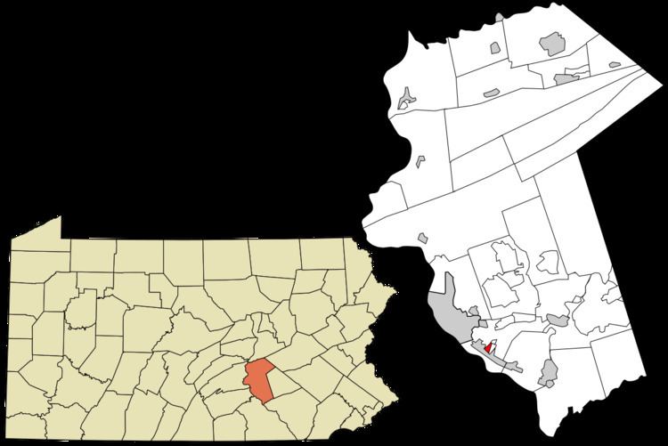
Enhaut is an unincorporated community and census-designated place (CDP) located in Dauphin County in the state of Pennsylvania. The community was formerly part of the census-designated place of Bressler-Enhaut-Oberlin, before splitting into three separate CDPs for the 2010 census. As of the 2010 census the population in Enhaut was 1,007.
Map of Enhaut, Bressler-Enhaut-Oberlin, PA 17113, USA
Enhaut is in Swatara Township and is bordered to the southwest by the borough of Steelton, to the southeast by Bressler, and to the northeast by Oberlin. It is 4 miles (6 km) southeast of the state capitol in Harrisburg.
References
Enhaut, Pennsylvania Wikipedia(Text) CC BY-SA