Country Georgia, (Abkhazia) River mouth Black Sea Mouth Black Sea | Main source Caucasus Major Length 213 km | |
 | ||
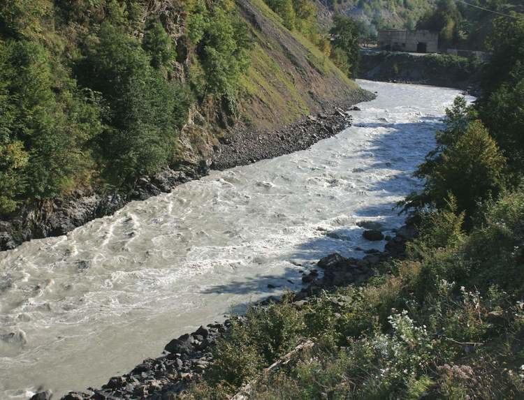
Enguri river svaneti georgia
The Enguri (Georgian: ენგური, Abkhaz: Егры, Egry Russian: Ингур, Ingur) is a river in western Georgia. It is 213 kilometres (132 mi) long, originates in northeastern Svaneti near the region of Racha and plays an important role providing hydroelectric power to the area.
Contents
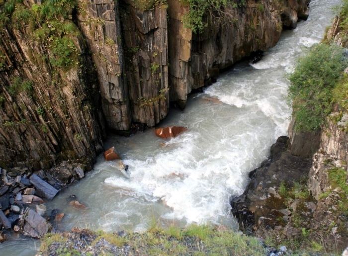
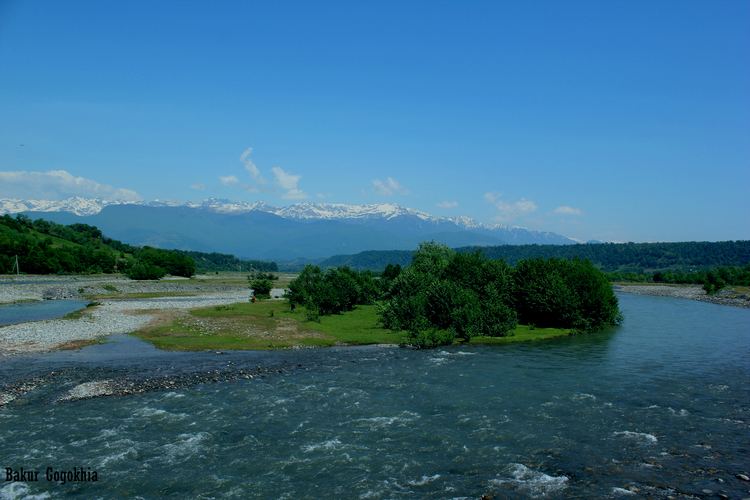
The river emerges from the high Caucasus near the highest mountain in Georgia, Shkhara, and winds through the mountain valleys to the northwest before turning southwest to empty into the Black Sea near Anaklia.
Since the Abkhaz–Georgian conflict, both Georgia and Abkhazia keep troops on the river; Russia also keeps peacekeeping troops. The only legal crossing-point is the 870-metre (2,850 ft) long Enguri Bridge, which was built by German prisoners of war from 1944 until 1948. There are also a number of illegal connections across the river.
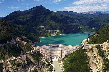
The river plays an important role in the Georgian energy production. In 1988 the Enguri Dam was built at a height of 240 metres (790 ft). At 750 metres (2,460 ft) across and 271.5 metres (891 ft) high, it is the largest construction in the Caucasus. It has a capacity of 1.1 million cubic metres (39,000,000 cu ft) of water. The underground water works produces 4.5 million kilowatts of energy yearly, about 40% of the national energy production. The capacity is 1,300 megawatts.