
Country United States FIPS code 36-24548 Elevation 339 m Local time Friday 12:59 PM | State New York Time zone Eastern (EST) (UTC-5) GNIS feature ID 0978940 Area 95.6 km² Population 3,512 (2010) | |
 | ||
Weather -4°C, Wind NW at 31 km/h, 66% Humidity | ||
Enfield is a town in Tompkins County, New York, United States. The population was 3,512 at the 2010 census.
Contents
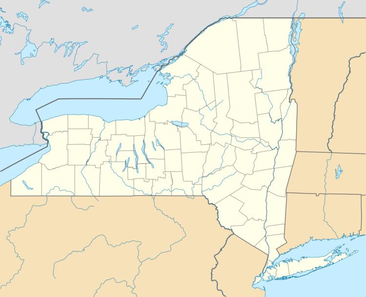
- Map of Enfield NY 14850 USA
- History
- Geography
- Demographics
- Communities and locations in Enfield
- References
Map of Enfield, NY 14850, USA
The Town of Enfield is located on the western border of the county and is west of Ithaca.
History
The Sullivan Expedition of 1779 passed through the area, which later became part of the Central New York Military Tract.
The town was first settled around 1804. The Town of Enfield was formed in 1821 from part of the Town of Ulysses.
Geography
According to the United States Census Bureau, the town has a total area of 36.9 square miles (96 km2), of which, 36.9 square miles (96 km2) of it is land and 0.04 square miles (0.10 km2) of it (0.05%) is water.
The west town line is the border of Schuyler County. Borders on the North the Town of Ulysses, and on the South the Town of Newfield. The eastern town line is marked by Cayuga Lake, one of the Finger Lakes.
New York State Route 79 is an east-west highway in the town and intersects (north-south) New York State Route 327 at Millers Corners.
Demographics
As of the census of 2000, there were 3,369 people, 1,323 households, and 891 families residing in the town. The population density was 91.3 people per square mile (35.3/km²). There were 1,432 housing units at an average density of 38.8 per square mile (15.0/km²). The racial makeup of the town was 94.81% White, 1.87% African American, 0.36% Native American, 0.45% Asian, 0.50% from other races, and 2.02% from two or more races. Hispanic or Latino of any race were 1.69% of the population.
There were 1,323 households out of which 35.5% had children under the age of 18 living with them, 49.3% were married couples living together, 12.7% had a female householder with no husband present, and 32.6% were non-families. 23.9% of all households were made up of individuals and 5.5% had someone living alone who was 65 years of age or older. The average household size was 2.55 and the average family size was 3.02.
In the town, the population was spread out with 27.5% under the age of 18, 7.2% from 18 to 24, 30.3% from 25 to 44, 26.3% from 45 to 64, and 8.8% who were 65 years of age or older. The median age was 36 years. For every 100 females there were 96.6 males. For every 100 females age 18 and over, there were 96.3 males.
The median income for a household in the town was $36,538, and the median income for a family was $40,183. Males had a median income of $28,000 versus $24,625 for females. The per capita income for the town was $16,795. About 11.9% of families and 13.5% of the population were below the poverty line, including 23.2% of those under age 18 and 2.8% of those age 65 or over.