
Time zone IST (UTC+5:30) Local time Friday 7:15 PM | PIN 306422 ISO 3166 code ISO 3166-2:IN | |
 | ||
Weather 27°C, Wind W at 16 km/h, 16% Humidity | ||
Endla is a small village in Pali district of Rajasthan in Northern India. It is 3 kilometres (1.9 mi) away from National Highway 14, near Guda Endla village. Endla village has divided into two revenue villages: Endlawas and Jooni Endla. Some of revenue documents consider Endla (Endlawas & Jooni Endla) as a Gura Endla - 2 revenue village.
Contents
Map of Endla, Rajasthan
Shri Mangilal Chimnoba Choudhary's Bera (Balawala) is midpoint of this village, which has divided this village into two revenue villages. So this village has three names: Endla, Endlawas and Jooni Endla, but most commonly preferred name is Endla. Some of official doucments preferred name for this place is Endla. The village Endla has two sub localities Bhaton Ka Dhana (Bhaton ki Dhani) & Meghwalon Ki Dhani. This village is under Pali Lok Sabha and Sumerpur Vidhan Sabha constituencies respectively.
Landmarks
This village is known for the Endla Dam. It has the temple of Mamaji (lok devta).
Economy
Most of population of this village depends on agriculture for their livelihood.
Demographics
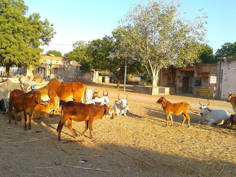
The village's population is dominated by Rajput (Ada Rajput), Charan, Choudhary Meghwal and Rabari castes.
Transport
Endla is well connected with National Highway 14 and there is transportation available to reach the district headquarter Pali and Krishi Anaaj mandi Sumerpur.
Education
Currently there are one school (Upper Primary School), one Revenue Office, one Primary Health Centre and one Anganwadi Kendra running to serve the society.