
Established 1910 (Municipality) Area code(s) +53-422 Area 345 km² Local time Friday 6:57 AM | Founded 1850 Time zone EST (UTC-5) Elevation 55 m Population 33,641 (2004) | |
 | ||
Weather 17°C, Wind N at 3 km/h, 90% Humidity | ||
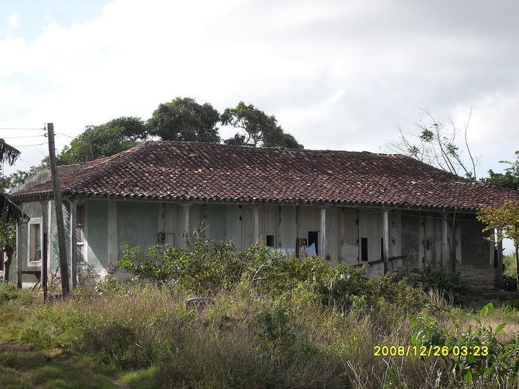
Encrucijada ([eŋkɾusiˈxaða]) is a municipality and town in the Villa Clara Province of Cuba. It was founded in 1850 and established as a municipality in 1910.
Contents
Map of Encrucijada, Cuba
Geography
The municipality is divided into the barrios of Centro, Paso Real, El Santo, Calabzar de Sagua and Vega Redonda.
Demographics
In 2004, the municipality of Encrucijada had a population of 33,641. With a total area of 345 km2 (133 sq mi), it has a population density of 97.5/km2 (253/sq mi).
References
Encrucijada Wikipedia(Text) CC BY-SA