
Country United States Time zone Pacific (PST) (UTC-8) Local time Friday 3:21 AM | Elevation 3,963 ft (1,208 m) Area code(s) 458 and 541 | |
 | ||
Weather 6°C, Wind S at 21 km/h, 79% Humidity | ||
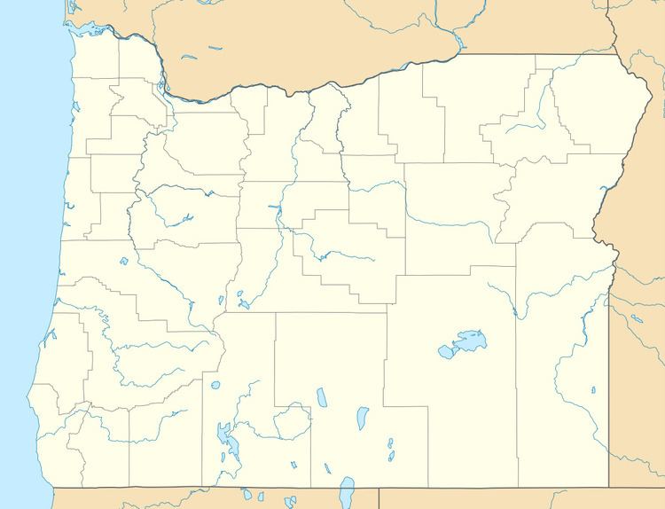
Encina is an unincorporated community in Baker County, Oregon, United States. Encina is about 10 miles (16 km) southeast of Baker City near exit 313 of U.S. Route 30/Interstate 84.
Contents
Map of Encina, OR 97814, USA
Encina is Spanish for "evergreen oak". The railroad siding of the Union Pacific Railroad mainline at this locale was named "Oak Cut" at the time of its construction, but the name was "cumbersome" so it was renamed by railroad agent J. C. Mayo, who had lived in Mexico.
Railway history
Encina is the summit of the Huntington Subdivision mainline. The tracks that go through Encina were originally owned by the Oregon Railway & Navigation Company that built the railroad from 1882 to 1884.
References
Encina, Oregon Wikipedia(Text) CC BY-SA