
Climate Cfb Province Papua | Local time Friday 7:32 PM | |
 | ||
Weather 17°C, Wind N at 0 km/h, 99% Humidity | ||
Enarotali is a city in Indonesia located in the Papua province.
Contents
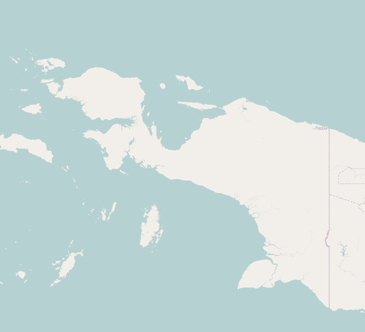
Map of Enarotali, East Paniai, Paniai Regency, Papua, Indonesia
Geography
It is located in the Highlands, on the shore of Lake Paniai. Its altitude is about 1750 m, located near a fertile mountain plain surrounding the lake and it is surrounded by hills and mountains. It is served by the Enarotali Airport. It is the capital of Paniai Regency, Papua province. The city is at present developing towards Mahdi, located 12 km to the east.
History
Enarotali is considered to be the only colonial city built in the interior of New Guinea by the Dutch.
Population
The population of the Paniai Regency was 149,093 in 2010, however most of them didn't live in the provincial capital, but in the countryside. The main tribes are Mee, Moni, Wolani and Dani. The former three tribes speak the Paniai Lakes languages, which is a language family named after the lakes. They depend on agriculture, including the cultivation of sweet potato and breeding livestock.