
 | ||
Empress augusta bay positioning and direction of us ships against the northern hd stock footage
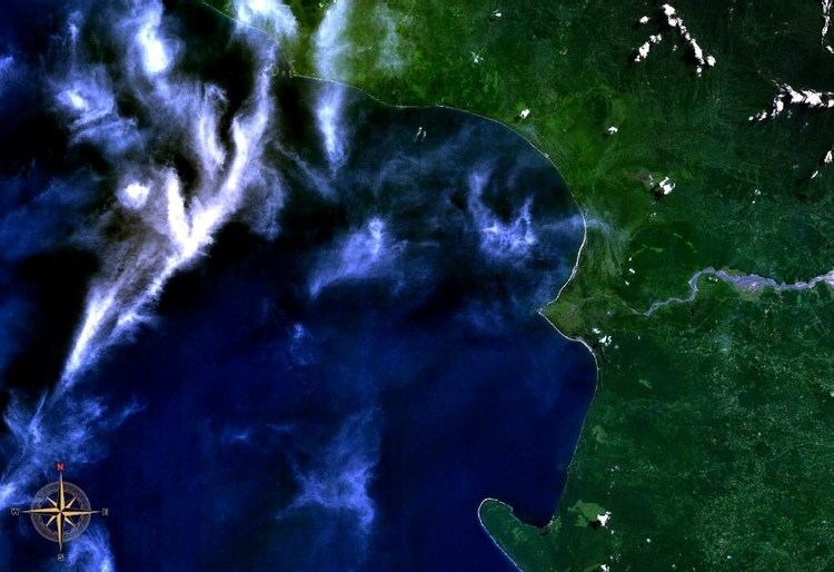
Empress Augusta Bay is a major bay on the western side of the island of Bougainville, in Papua New Guinea, at 6°25′S 155°5′E. It is a major subsistence fishing area for the people of Bougainville. It is named after Augusta Viktoria of Schleswig-Holstein, wife of German Emperor William II.
Contents
- Empress augusta bay positioning and direction of us ships against the northern hd stock footage
- Map of Empress Augusta Bay Papua New Guinea
- References
Map of Empress Augusta Bay, Papua New Guinea
In November 1943, the bay was the site of the Battle of Empress Augusta Bay, between Allied and Japanese forces. During the 1970s and 1980s the bay was seriously polluted by copper tailings from the world's largest copper mine, Panguna, operated by Rio Tinto Group. This issue contributed to the formation of the secessionist Bougainville Revolutionary Army and a civil war on the island between 1989 and 1997.
References
Empress Augusta Bay Wikipedia(Text) CC BY-SA