
Country United States ZIP code 56470 Local time Thursday 10:07 PM | Time zone Central (CST) (UTC-6) Elevation 474 m | |
 | ||
Weather -17°C, Wind NW at 23 km/h, 56% Humidity | ||
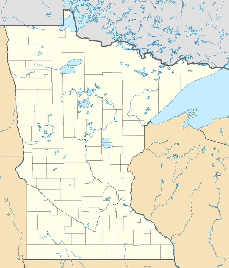
Emmaville is an unincorporated community in Hubbard County, Minnesota, United States, half way between Park Rapids and Lake George. The community is located at the junction of Hubbard County Roads 4 and 24.
Map of Emmaville, MN 56470, USA
Emmaville is located within Clay Township and Lake Emma Township.
Local business establishments include a gas station, convenience store, and cafe. It is also well traveled by snowmobilers in the winter because of its location near the trails, including the Heartland State Trail. It is well known as the last stop before entering Camp Wilderness, a Boy Scout summer camp.
On June 6, 2008, Emmaville was the scene of widespread damage, along with nearby Park Rapids, when a storm system containing at least one tornado swept through the area, uprooting trees and damaging property. One injury was reported.
In 2010, the Emmaville Store was officially put up for sale and purchased by new owners. The store and cafe were renovated and reopened in the spring of 2011.