
Time zone China Standard (UTC+8) | Area 9,147 km² | |
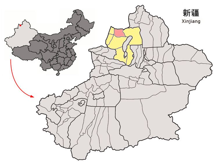 | ||
Emin County or Dorbiljin County (Uyghur: Дорбилҗин Наһийиси) is a county situated in the Xinjiang Uyghur Autonomous Region and is under the administration of the Tacheng Prefecture. It has an area of 9,092 km² with a population of 200,000. The Postcode is 834600.
Contents
Map of Emin, Qoqek, Xinjiang, China
Geographically, the county is located on the southern slopes of the Tarbagatai Mountains and in the Emin Valley. The main watercourse is the Emin (Emil) River.
Name
The place was originally named Dörbiljin. In 1918, Yang Zengxin, the governor of Xinjiang, petitioned to have a county set up in the Emin Valley. The new county was named after the Emin River (Russian: Emil River).
References
Emin County Wikipedia(Text) CC BY-SA