
Basin countries United Kingdom Surface elevation 215 m | Surface area 0.11 km (0.042 sq mi) Area 11 ha | |
 | ||
Primary inflows Similar Yorkshire Dales, Thorpe Fell Top, Sharp Haw, Grimwith Reservoir, Winterburn Reservoir | ||
Embsay Reservoir is located above the village of Embsay, near Skipton in the Yorkshire Dales in North Yorkshire, England. It is owned by Yorkshire Water, and is used to supply water to the north and west of Skipton, feeding 25,000 homes. It has a dam height of 24 m (79 ft).
Map of Embsay Reservoir, Skipton, UK
The reservoir was built by Skipton Urban District Council to service the needs of a rapidly rising population in the area. Forty acres of Embsay Pasture were compulsorily purchased in 1905, and work started almost immediately, with the main contract being awarded to the specialist company, Messrs G H Hill and Son. Work was completed before the end of 1909, and the reservoir was full by January 10 of the following year. It was officially opened on June 21, 1910. No dwelling houses were submerged.
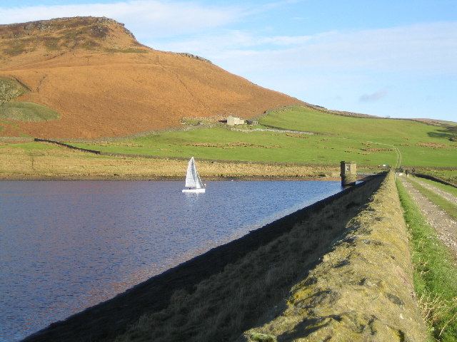
The reservoir is used for leisure activities such as sailing, fishing, and walking, and is the home of the Craven Sailing Club. There are car parking facilities for visitors.