
Postal code 6062 | Postcode(s) 6062 State electorate(s) BassendeanMaylands Area 170 ha | |
 | ||
Location 8 km (5 mi) NE of Perth City | ||
Embleton is a suburb of Perth, the capital city of Western Australia, and is located 8 kilometres (5 mi) northeast of Perth's central business district (CBD) between the suburbs of Morley and Bayswater. Its local government area is the City of Bayswater.
Contents
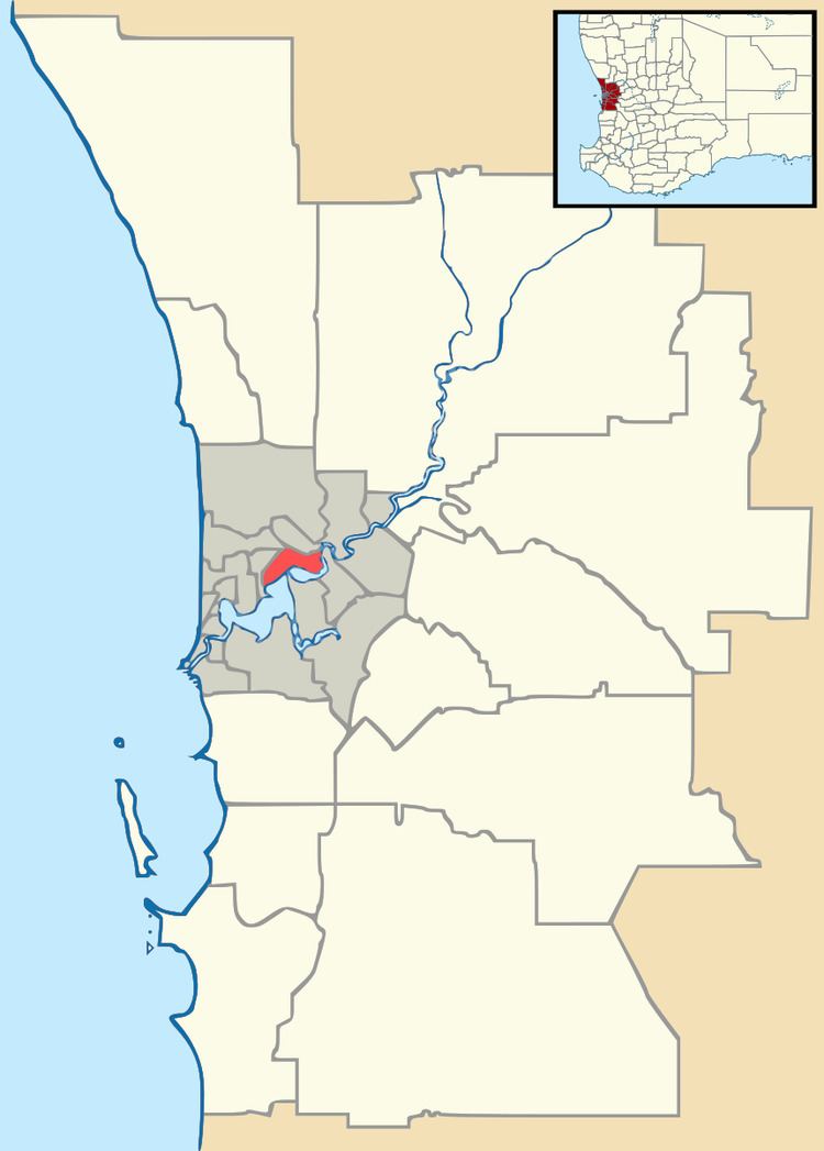
Map of Embleton WA 6062, Australia
History
The area developed during the early 20th century as a rural district on the outskirts of Perth, characterised by five-acre lots with a number of self-built houses. From the late 1950s, much of the land was resumed by the State Housing Commission, to be resubdivided and developed for detached suburban housing, which continues to typify the area.
The name Embleton honours an early settler, George Embleton, who arrived in 1829 as a servant of Dr John Watley, who had settled in the Bayswater district.
Geography
Embleton is bounded by Broun Avenue (the continuation of Beaufort Street) to the west and north and Beechboro Road to the east.
Facilities
The suburb contains a primary school, water leisure centre and a golf course. Wotton Reserve, which includes a skate park and a soccer pitch, is located in the suburb's northeast. John Forrest College and Hillcrest Primary School are just beyond the suburb's southwestern boundary.