
Name meaning God will prepare Local time Thursday 6:52 PM | Founded 1950 Population 3,407 (2014) | |
 | ||
Weather 22°C, Wind N at 10 km/h, 47% Humidity | ||
Elyakhin (Hebrew: אֶלְיָכִין) is a town and local council in the Central District of Israel. Located just south of Hadera and bordering the Emek Hefer Regional Council, it is accessible by local road 5812. With a jurisdiction of 1,600 dunams, it had a population of 3,424 in 2015.
Contents
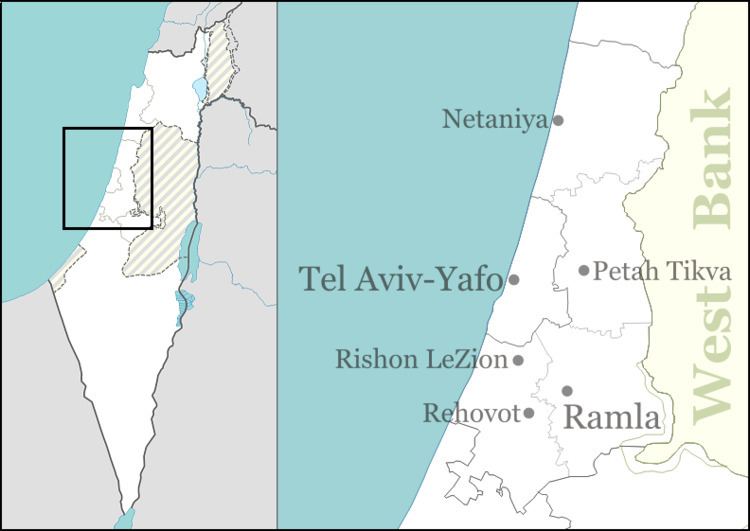
Map of Elyakhin, Israel
History
Elyakhin was founded in 1950 as a ma'abara near the ruins of the Arab village Zalafa. It has a symbolic name, meaning "God will prepare", i.e. God prepared the land for the settlement of Jewish immigrants.
Geography and structure
Elyakhin is bordered by Hadera in the north and the Hefer Valley Regional Council in the south. The adjacent villages in the regional council are Herev Le'et, Hibat Tzion and Givat Haim (Ihud). Elyakhin's average elevation is 30 meters (98 ft).
Elyakhin consists of the eastern part of the town, as well as three western neighborhoods – HaAlonim, HaShikmim and HaOranim.
Public structures
Elyakhin has 11 synagogues, five of which are adjacent and located in the center of the town. Three more are located on the sides of HaBanim Park on the eastern part.
Elyakhin also has a community center and public library in the town's center.