
Elevation 129 m (423 ft) Area 11.66 km² Local time Thursday 4:17 PM Dialling code 034296 | Time zone CET/CEST (UTC+1/+2) Population 1,429 (31 Dec 2008) Postal code 04523 | |
 | ||
Weather 12°C, Wind SW at 13 km/h, 59% Humidity | ||
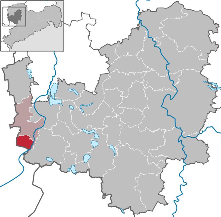
Elstertrebnitz is a municipality in Saxony, lying southwest of Leipzig and northeast of Zeitz.
Contents
- Map of 04523 Elstertrebnitz Germany
- Geography
- Neighbouring municipalities
- Economy
- Elstermhlgraben
- References
Map of 04523 Elstertrebnitz, Germany
Geography
Elstertrebnitz lies to the south of Leipzig, in a low-lying basin approximately 15 km northeast of Zeitz.
Neighbouring municipalities
Elstertrebnitz is bordered to the north by the town Pegau, to the northeast by the town Groitzsch, by the region Elsteraue in the south and region Hohenmölsen in the west. The regions Elstertrebnitz and Hohenmölsen are separated by the open cast mine Profen.
Economy
The municipality is largely agricultural.
Elstermühlgraben
The Elstermühlgraben is the name of a flume diverted from the river Elster. The Elstermühlgraben operated the mills from the Elstertrebnitz to Kleindalzig until the 20th Century. Very few mills are in operation today. Above all, the flume served the villagers for bathing and as a water source for needed washing water. The Pegauer Baths, which lie directly beside the Elstermühlgraben, cleaned and used the water for their facility. But the flume was also used as a transport route for various uses.