
Quadrant NW Sector Mature area Elevation 674 m | Ward 5 Area 102 ha Population 2,613 (2012) | |
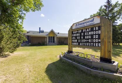 | ||
Elmwood is a neighbourhood in west Edmonton, Alberta, Canada that was a part of the Town of Jasper Place prior to Jasper Place's amalgamation with Edmonton in 1964. It is a residential neighbourhood located to the south east of West Edmonton Mall and to the south west of Meadowlark Park Centre. Residents also have ready access to the Misericordia Community Hospital located just north of Elmwood in the neighbourhood of West Meadowlark Park.
Contents
Map of Elmwood, Edmonton, AB, Canada
The neighbourhood is bounded by 87 Avenue on the north, 159 Street on the east, Whitemud Drive to the south, and 170 Street to the west. In addition to West Meadowlark Park, other residential neighbourhoods located around Elmwood are Meadowlark Park to the northeast, Lynnwood to the east, Patricia Heights and Westridge to the south, Callingwood North to the southwest, Thorncliff to the west, and Summerlea to the northwest.
Located just to the north of Whitemud Drive, with entry ramps at both 159 Street and 170 Street, residents of Elmwood have easy access to destinations on the south side, including Whyte Avenue and the University of Alberta, and Fort Edmonton Park.
Demographics
In the City of Edmonton's 2012 municipal census, Elmwood had a population of 7003261300000000000♠2,613 living in 7003107000000000000♠1,070 dwellings, a -0.9% change from its 2009 population of 7003263700000000000♠2,637. With a land area of 1.02 km2 (0.39 sq mi), it had a population density of 7003256180000000000♠2,561.8 people/km2 in 2012.