
Population 419 (2011 census) Postal code 3469 | Postcode(s) 3469 Local time Thursday 11:39 PM | |
 | ||
Location 191 km (119 mi) NW of Melbourne77 km (48 mi) NW of Ballarat35 km (22 mi) NE of Ararat28 km (17 mi) SW of Avoca Weather 22°C, Wind S at 11 km/h, 53% Humidity | ||
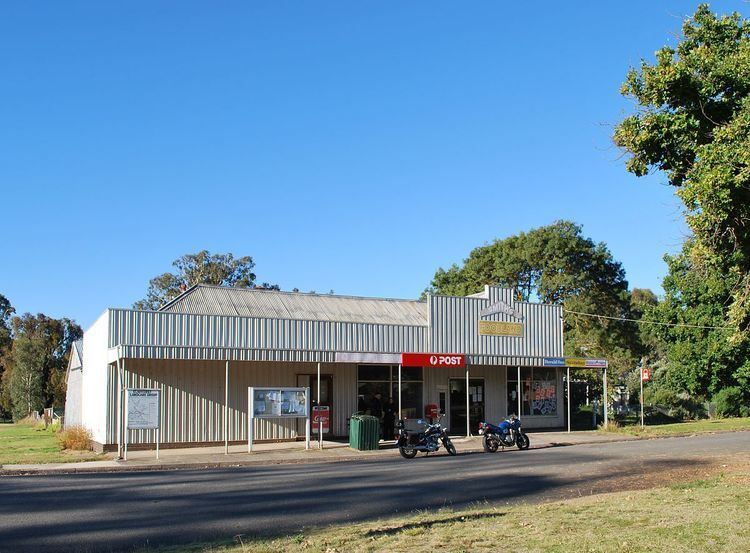
Elmhurst is a town in the Pyrenees region of western Victoria, Australia. The town is on the Pyrenees Highway between Eversley and Amphitheatre. Elmhurst is in the Rural City of Ararat local government area, 191 kilometres (119 mi) north-west of the state capital, Melbourne. The headwaters of the Wimmera River form near Elmhurst. At the 2011 census, Elmhurst had a population of 419.
Map of Elmhurst VIC 3469, Australia
Mount Cole and the Mount Buangor State Park are located south of Elmhurst.
References
Elmhurst, Victoria Wikipedia(Text) CC BY-SA