
Architectural style Georgian, Federal Area 227 ha | NRHP Reference # 00001481 Added to NRHP 7 December 2000 | |
 | ||
Location | ||
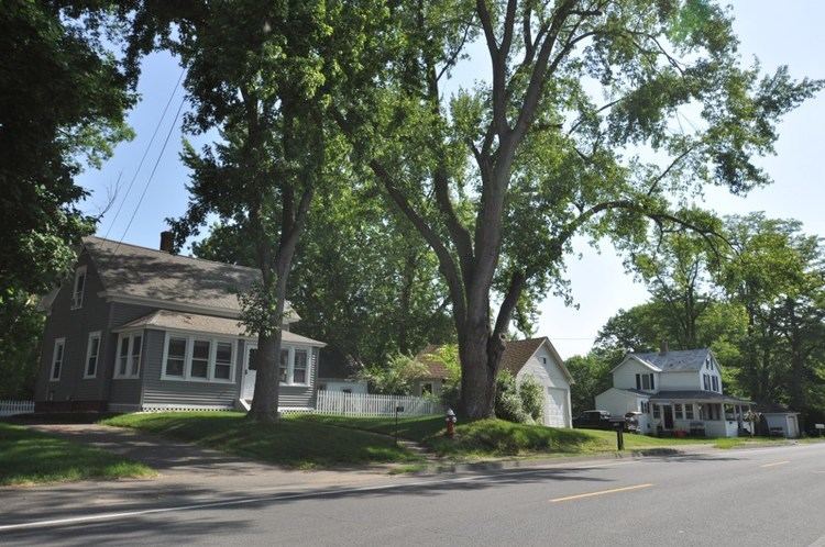
The Elm Street Historic District is a rural historic district in southern Hatfield, Massachusetts. It encompasses a landscape that has seen agricultural use since 17th century colonial days, including fields now used for tobacco farming, and historic properties located along five roads: Elm Street, Scotland Road, Sunset Road, Brook Hollow Road, and Little Neponset Road. The district is bounded on its south by the Connecticut River, on its east and north by the Mill River, with a small portion of land border in the northeast which cuts off a large meander in the river. This section, near the junction of Elm and Prospect Streets, is also where this district abuts the Mill-Prospect Street Historic District, which runs north along Prospect Street, and its eastern boundary abuts the Hatfield Center Historic District. Its western boundary is roughly a north-south line in the area of the junction of Elm and Dwight Streets.
Most of the buildings in the district are either residential or agricultural in nature, and the district includes the agricultural fields lying south of Elm Street, as well as important agricultural buildings such as tobacco drying barns. The houses in the district stylistically represent the long history of the period, and most home construction in the area had ended by the 1940s. The district was listed on the National Register of Historic Places in 2000.