
Built 1677 Opened 1677 Added to NRHP 27 July 1994 | NRHP Reference # 94000737 Area 188 ha | |
 | ||
Architectural style Late 19th And 20th Century Revivals, Mid 19th Century Revival, Colonial | ||
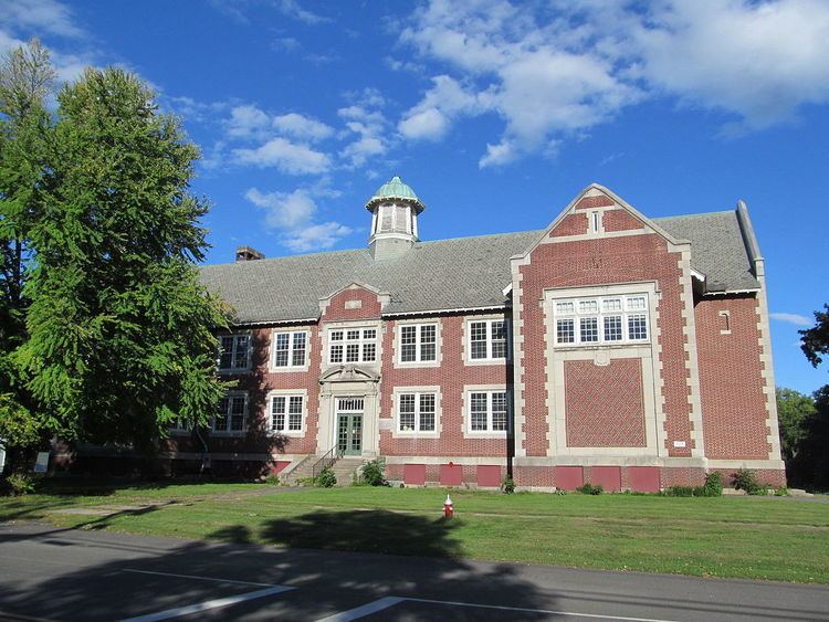
The Hatfield Center Historic District encompasses the traditional center of Hatfield, Massachusetts. The area, first laid out in 1661, is bounded by Maple Street to the south, the Connecticut River to the east, Day Avenue and School Street to the north, and the Mill River to the west. The district abuts the Elm Street and the Mill-Prospect Street Historic Districts to the west. Main Street, the principal north-south road in the district is characterized by well-spaced residential lots containing homes built in the 18th and 19th centuries, and the civic heart of the town, where the town hall, Center School, and Memorial Hall are located.
The district was added to the National Register of Historic Places in 1994.
References
Hatfield Center Historic District Wikipedia(Text) CC BY-SA