Country United States Population 7,875 (2013) Area 93.92 sq mi | State | |
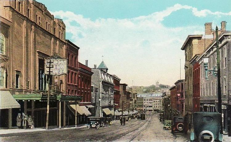
Ellsworth is a city in and the county seat of Hancock County, Maine, United States. The 2010 Census determined it had a population of 7,741. Ellsworth was Maines fastest growing city from 2000–2010 with a growth rate of nearly 20 percent. With historic buildings and other points of interest, Ellsworth is popular with tourists.
Contents
Map of Ellsworth, Maine
1 bedroom ellsworth maine apartment for rent
History

Geography
Ellsworth is located at 44°3420" North, 68°2834" West (44.572223, -68.476039).

According to the United States Census Bureau, the city has a total area of 93.92 square miles (243.25 km2), of which 79.28 square miles (205.33 km2) is land and 14.64 square miles (37.92 km2) is water. Located at the head of navigation, Ellsworth is drained by the Union River. Ellsworth Falls is the location of the Agassiz Outcrop [2], a National Historic Landmark, notable for its early recognition as evidence of glaciation.
The city is served by U.S. Route 1 and U.S. Route 1A, in addition to state routes 3, 172, 179, 180, 184 and 230.
