Country United States ZIP code 38926 Elevation 69 m Population 990 (2010) | Time zone Central (CST) (UTC-6) Area code(s) 662 Area 11.7 km² Local time Thursday 4:31 AM | |
 | ||
Weather 9°C, Wind S at 2 km/h, 71% Humidity | ||
Elliott is an unincorporated community and census-designated place (CDP) in Grenada County, Mississippi, United States, and part of the Grenada Micropolitan Statistical Area. As of the 2010 census it had a population of 990.
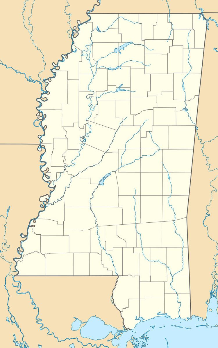
Map of Elliott, MS, USA
Elliott is located on the southern edge of Grenada County, with its southern border following the Montgomery County line. It is along U.S. Route 51, 7 miles (11 km) south of Grenada, the county seat, and 4 miles (6 km) north of Duck Hill. The Camp McCain Training Center of the Mississippi National Guard is 3 miles (5 km) to the east.
According to the U.S. Census Bureau, the Elliott CDP has an area of 4.5 square miles (11.7 km2), all of it land. The community is in the valley of Batupan Bogue, a northwest-flowing tributary of the Yalobusha River.
