
District Westerwaldkreis Elevation 225 m (738 ft) Area 190 ha Population 284 (31 Dec 2008) Dialling code 02626 | Municipal assoc. Selters (Westerwald) Time zone CET/CEST (UTC+1/+2) Local time Thursday 10:14 AM Postal code 56242 | |
 | ||
Weather 8°C, Wind S at 5 km/h, 100% Humidity | ||
Ellenhausen ist eine Ortsgemeinde – a community belonging to a Verbandsgemeinde – in the Westerwaldkreis in Rhineland-Palatinate, Germany. The community belongs to the Verbandsgemeinde of Selters, a kind of collective municipality.
Contents
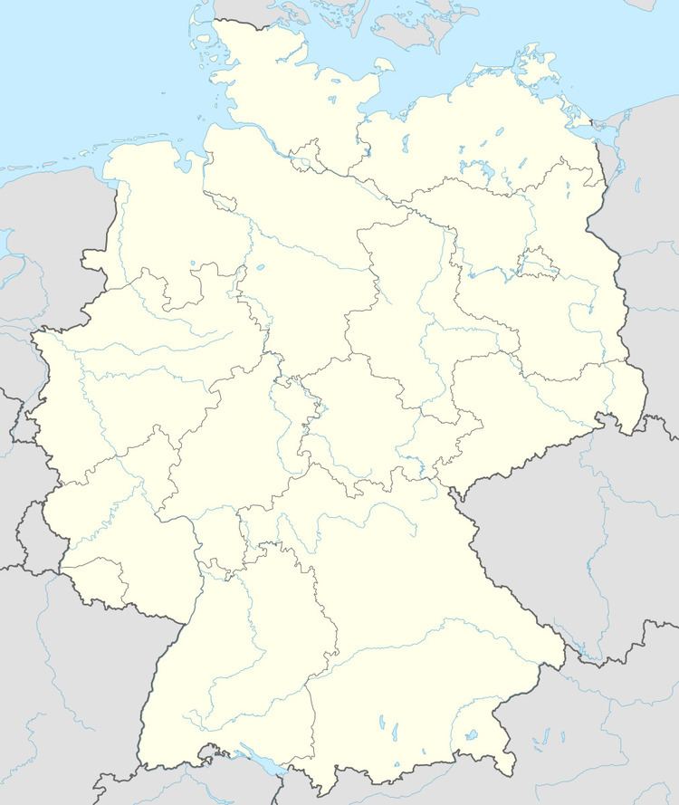
Map of Ellenhausen, Germany
Location
Ellenhausen lies 3 km (2 mi) southwest of Selters (Westerwald) on the Saynbach in the middle of a broad land covered by woods and meadowland.
History
In 1100, Ellenhausen had its first documentary mention. The name's spelling changed over the centuries from Elkinhusin to Helchinhusin to Ellenhausen. In 1972, in the course of administrative reforms, the Verbandsgemeinde of Selters was founded.
Community council
The council is made up of 8 council members, including the honorary and presiding mayor (Ortsbürgermeister), who were elected in a majority vote in a municipal election on 7 June 2009.
Transport
The nearest Autobahn interchange is Mogendorf on the A 3 (Cologne–Frankfurt). The nearest InterCityExpress stop is the railway station at Montabaur on the Cologne-Frankfurt high-speed rail line.