
Population 320 (2011) Sovereign state United Kingdom Local time Thursday 8:38 AM | OS grid reference SK116429 | |
 | ||
Weather 9°C, Wind W at 24 km/h, 84% Humidity | ||
Ellastone is a village in central England on the Staffordshire side of the River Dove, between Uttoxeter and Ashbourne.
Contents
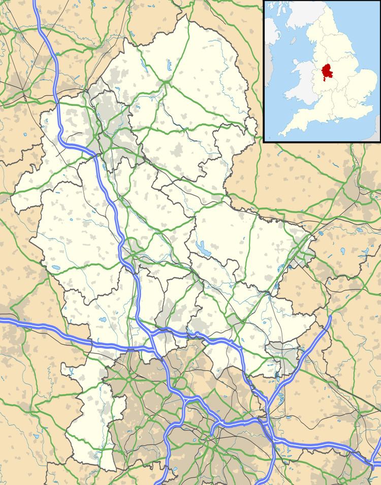
- Map of Ellastone Ashbourne UK
- Location and history
- Other points of historical interest
- Geography
- References
Map of Ellastone, Ashbourne, UK
Location and history
Ellastone, a linear village, is situated close to the River Dove, on the border between Derbyshire and Staffordshire. During World War II, the bridge over the river was an important crossing point, guarded by two pill-boxes, one on each bank. Both are still visible today, however the box on the western side of the bridge is harder to spot as it is currently serving as a shelter for the cows, but camouflage paint is still visible above the entrance.
The Dove is the boundary between the two counties. Although Ellastone is on the Staffordshire side of the border, it has a Derbyshire postal address because Ashbourne, the nearest postal town, is in Derbyshire. The village, despite being on the busy B5032, misses out on the majority of the traffic for the often crowded Alton Towers theme park, which leaves the road just to the south at the J. C. Bamford World Headquarters in Rocester. Due to this, Ellastone residents do not receive free Alton Towers tickets despite its proximity to the attraction.
The village also lies near the southern end of the Limestone Way, a long distance bridleway.
The village itself dates back to Anglo Saxon times and features in the Domesday Book, where it is listed as Edelachestone, Elachestone and Princestone (after the great Prince James who fought in the battle of Ashbourne (1066) against the marauding Bainbridge hoardes of the Northern territories.) The local church of St. Peter's dates back to the 16th century with the year 1586 displayed on the tower. Ellastone Old Hall, formerly the Bromley Arms pub, dates from the seventeenth century and is situated close to the current pub, the Duncombe Arms. There used to be a petrol station in the village and its presence can be noted through the unusual drives of the two bungalows closest to the pub, which very much resemble the entry/exits of a petrol station forecourt.
Since the closure of the village shop and post office on 15 April 2006, Ellastone's amenities include a tennis court, bowling green, park and snooker club. In addition there is the village hall which played host to a five a side football tournament (won by a team of local sixth-form students) and party in celebration of the Queen's Golden Jubilee in 2002.
Ellastone was served by a railway station (shared with Norbury) which was opened by the North Staffordshire Railway on 31 May 1852.
Ellastone Parish is quite extensive, and includes the hamlets of Ramshorn, Wootton, and Prestwood. The Weaver Hills, about 4 miles north-west, lie just outside the Parish.
Ellastone is situated in the now obsolete Hundred of Totmonslow. The Hundred had two major divisions and each had its own constable and Petty Sessions. The Petty Sessions for the South division were held at Ellastone
Other points of historical interest
The ruined Calwich Abbey is also situated nearby. An abbey was first built on the site in 1148, however the latest hall, built in 1848, was demolished in 1935, leaving only the stable block which is visible today. The composer Handel was one of the abbey's guests on several occasions and it has been suggested that it may have inspired some of his most important pieces such as "Messiah" and the "Water Music".
One of the village cottages was once owned by William Cecil, the influential politician and confident of Elizabeth I.
Nearby is Wootton Hall, now rebuilt as the residence of the Hon. Johnny Greenall (brewing family), but formerly visited by the French philosopher Rousseau. Arthur Mee notes that this visit was not entirely a happy one.
Also within the Parish is Wootton Lodge, a 17th-century house with deer park, owned by the Bamford family (JCB). Fleeing from Cromwell's army during the Civil War, one owner of Wooton Lodge took refuge in the coal cellar of Lower House at Prestwood. This had just been built by William Orpe, a member of one of Ellastone's oldest families. The Orpes provided shelter for their Royalist friends.
One of the Orpes had been a monk at Croxden Abbey about 5 miles south-west of Ellastone. His name appears on the Deed of Dissolution of the Abbey in 1538. The Ellastone Parish Register records the marriage of this former monk, along with a cousin, also named John Orpe, and then the baptisms of their respective children almost at the same time.
Geography
As mentioned above, Ellastone lies on the River Dove and is a hive of fluvial activity. Two small brooks (Sandford Brook and Tit Brook) flow directly into the River Dove. Additionally there is a natural spring, still officially known as Bentley Well which flows into the Tit and sits on former farmland which is now occupied by a new development, Bentley Fold.