District Adilabad Time zone IST (UTC+5:30) Elevation 363 m Population 3,000 (2001) | PIN 504102 Local time Thursday 3:46 AM Area code 08752 | |
 | ||
Weather 23°C, Wind NW at 6 km/h, 39% Humidity | ||
Elegaon is a village located in Bhainsa Mandal in the Adilabad district of Telangana State in India. It has a population of around 3000. Elegaon Gram panchayat contains 10 wards and two neighboring villages, Badgaon and Sirala.
Contents
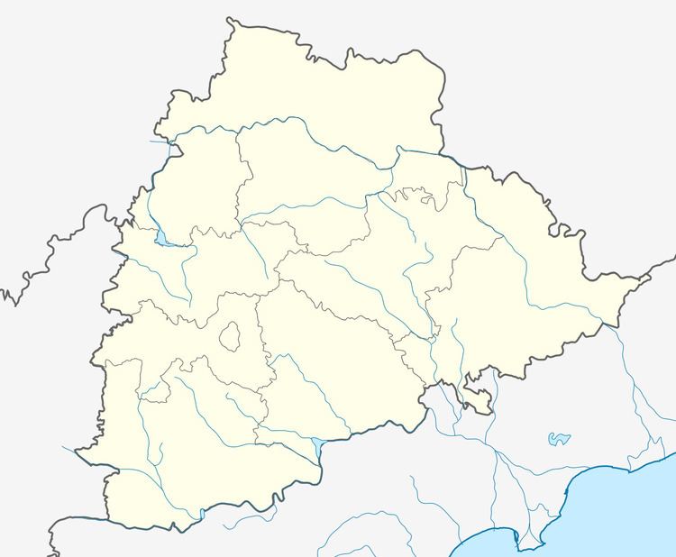
Map of Elegaon, Telangana 504102
Demographics
As this village comes under the Telangana region of the state Andhra Pradesh (well known as under developed region of this state), it is a backwards area. At least half of the people are illiterate. This village has around 3500 people.
Agriculture
Major crops:
- Rice
- Cotton
- Chilly
- Mung (Pesara)
- Blackgram (Minumu)
- Jowar (Jonna)
- Corn (Mokka Jonna)
- Groundnut
- Pigeon pea (Thogari in local slang)
- Soyabean
Temples
- Pochamma
- Mahalaxmi
- Mahadev
- Hanuman
- Bapuji Maharaj
Neighboring villages
- Degaon – 3 km
- Badgaon – 3 km
- Machkal – 2 km
- Ramtek – 2 km
- Sirala – 2 km
Nearby towns & visiting places:
- Bhainsa – 8 km
- Mudhole – 12 km
- Basara – 26 km
- Sirala – 2 km
References
Elegaon Wikipedia(Text) CC BY-SA
