
 | ||
An Electronic Chart Display and Information System (ECDIS) is a geographic information system used for nautical navigation that complies with International Maritime Organization (IMO) regulations as an alternative to paper nautical charts. IMO refers to similar systems not meeting the regulations as Electronic Chart Systems (ECSs).
Contents
- Application
- Electronic chart data
- Electronic Navigational Charts ENCs charts
- Raster Navigational Charts RNCs
- Regulations
- References
An ECDIS system displays the information from Electronic Navigational Charts (ENC) or Digital Nautical Charts (DNC) and integrates position information from position, heading and speed through water reference systems and optionally other navigational sensors. Other sensors which could interface with an ECDIS are radar, Navtex, Automatic Identification Systems (AIS), and depth sounders.
Application
ECDIS provides continuous position and navigational safety information. The system generates audible and/or visual alarms when the vessel is in proximity to navigational hazards.
Electronic chart data
The two most widely used types of electronic chart data are listed below.
Electronic Navigational Charts ("ENCs") charts
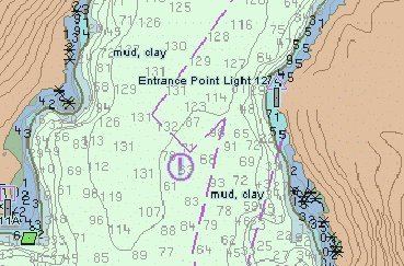
ENCs are vector charts that conform to the requirements for the chart databases for ECDIS, with standardized content, structure and format, issued for use with ECDIS on the authority of government authorized hydrographic offices. ENCs are vector charts that also conform to International Hydrographic Organization (IHO) specifications stated in IHO Publication S-57.
ENCs contain all the chart information necessary for safe navigation, and may contain supplementary information in addition to that contained in the paper chart. Systems using ENC charts can be programmed to give warning of impending danger in relation to the vessel's position and movement. ECDIS systems must be certified according to IMO regulations.
Raster Navigational Charts ("RNCs")
Raster Navigational Charts (RNCs) are raster graphics charts that conform to IHOS-61 and are produced by converting paper charts to digital image by scanner. The image is similar to digital camera pictures, which could be zoomed in for more detailed information as it does in ENCs. IMO Resolution MSC.86(70) permits ECDIS equipment to operate in a Raster Chart Display System (RCDS) mode in the absence of ENC.
Regulations
ECDIS (as defined by IHO Publications S-57 and S-52) is an approved marine navigational chart and information system, which is accepted as complying with the conventional paper charts required by Regulation V/19 of the 1974 IMO SOLAS Convention. as amended. The performance requirements for ECDIS are defined by IMO and the consequent test standards have been developed by the International Electrotechnical Commission (IEC) in International Standard IEC 61174.
In the future, the ENC will be part of a product specification family which is based on the "IHO Universal Hydrographic Data Model", known as S-100. The product specification number S-101 has been assigned to the ENC.