
State Victoria Electors 43,982 (2014) Party Australian Labor Party | Demographic Urbanised Rural Elector 43,982 | |
 | ||
Dates current 1904–1927, 1985–present Area 2,711 km (1,046.7 sq mi) | ||
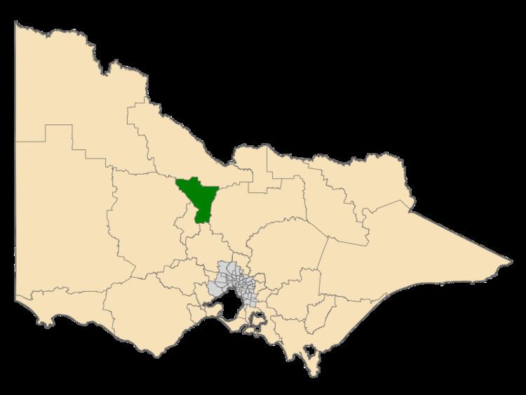
Bendigo East is an electoral district of the Legislative Assembly in the Australian state of Victoria. It covers an area of 2,711 square kilometres (1,047 sq mi) covering the part of the city of Bendigo east of the Yungera railway line and surrounding rural areas to the north, east and south. It includes the Bendigo suburbs of Bendigo East, Epsom, Huntly, Spring Gully, Strathfieldsaye and White Hills, and the surrounding towns of Axedale, Bridgewater, Flora Hill, Huntly, Kennington, Mandurang, Marong, Quarry Hill, Raywood, and Strathdale. It also includes parts of the localities of Eaglehawk, Elmore, Golden Square and Ravenswood, and the Bendigo campus of La Trobe University. It lies within the Northern Victoria Region of the upper house, the Legislative Council.
Map of East Bendigo VIC 3550, Australia
The electorate was first created in 1904 in what was then a relatively strong Labor area. It continuously returned Labor candidates from 1907 until its abolition in 1927, when it was merged with Bendigo West to create a single Bendigo electorate. It was recreated in 1985 as a marginal seat and was won by Liberal candidate Michael John, who went on to serve as a minister in the Kennett government. He was narrowly defeated by Labor candidate Jacinta Allan at the 1999 general election. Allan was re-elected at the 2002, 2006, 2010 and 2014 elections.