 | ||
LGA(s) | ||
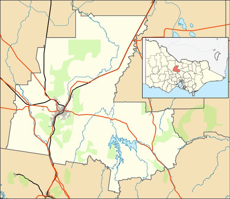
Mandurang, is a rural locality in the County of Bendigo, in the Australian state of Victoria. It is 10 km (6 mi) south of Bendigo, Victoria and is reputed by the government mapping agency, to be the geographic centre of Victoria at 36° 51' 15"S, 144° 16' 52" E.
Map of Mandurang VIC 3551, Australia
Mandurang is adjacent to the Greater Bendigo National Park and is in the Victorian Electorate of Sandhurst and the local government area of Bendigo City.
References
Mandurang Wikipedia(Text) CC BY-SA
