
Time zone EET (UTC+2) Area code(s) +30-2656-xxx-xxx | Elevation 1,026 m (3,366 ft) Postal code 440 14 Vehicle registration ΙΝx-xxxx | |
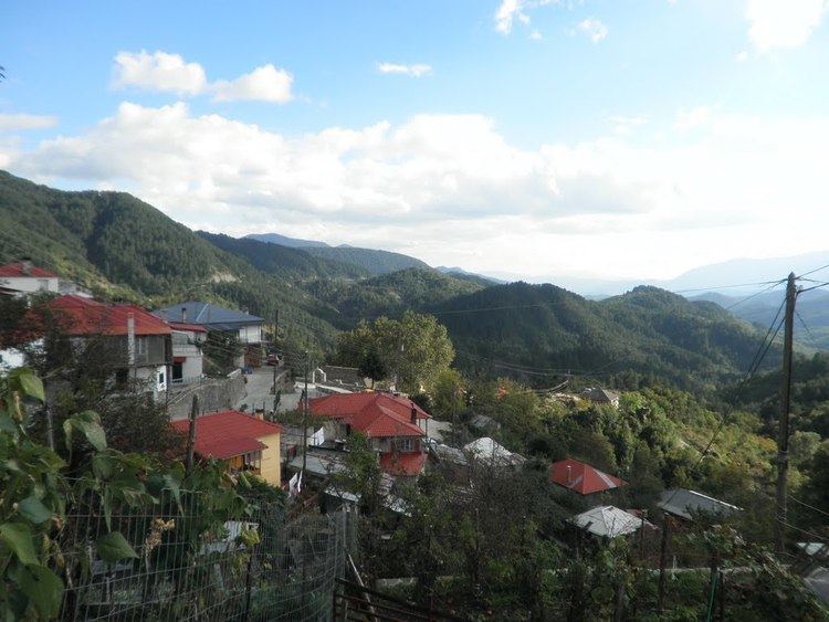 | ||
Elatochori (Greek: Ελατοχώρι, Aromanian: Cerneshi) is an Aromanian village and a community of the Zagori municipality. Before the 2011 local government reform it was part of the municipality of East Zagori, of which it was a municipal district. The 2011 census recorded 71 inhabitants in the village and 90 in the community. The community of Elatochori covers an area of 34.802 km2.
Contents
Map of Elatochori 440 14, Greece
Administrative division
The community of Elatochori consists of two separate settlements:
The aforementioned population figures are as of 2011.
References
Elatochori, Ioannina Wikipedia(Text) CC BY-SA