PIN 637502 Elevation 257 m Local time Wednesday 1:22 PM | Time zone IST (UTC+5:30) Telephone code 0427 Population 10,629 (2001) Area code 0427 | |
 | ||
Weather 32°C, Wind S at 6 km/h, 56% Humidity | ||
Elampillai is a panchayat town in Salem district in the Indian state of Tamil Nadu. It is famous for the Powerloom textiles(Silk Sarees) and food item called "paniyaaram" and "thatu vadai set" in Tamil. Siddhar Kovil alias Kanjamalai is a famous temple in salem district,it is located about 5 km away from Elampillai.
Contents
- Map of Elampillai Tamil Nadu 637502
- After sarees salem s elampillai gets famous for churidars
- Geography
- Demographics
- Economy
- References
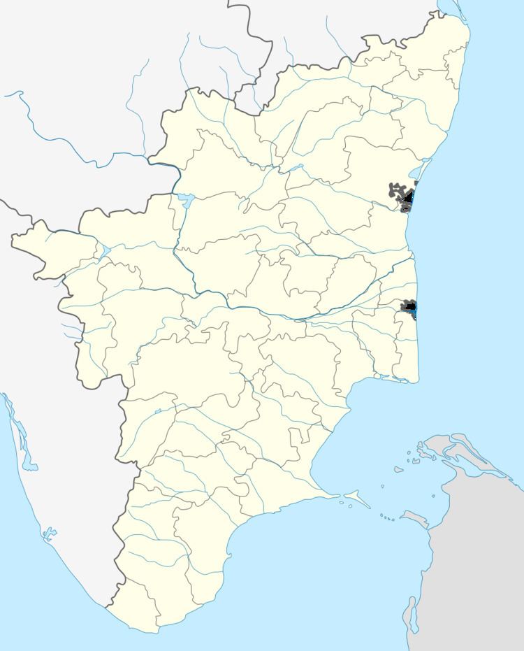
Map of Elampillai, Tamil Nadu 637502
After sarees salem s elampillai gets famous for churidars
Geography
Elampillai has an average elevation of 257 metres (843 feet). Kanjamalai hill is about 3 km from the Eastern side of the town.
Demographics
As of the 2001 Indian census, Elampillai had a population of 10,629. Males constitute 51% of the population and females 49%. Elampillai has an average literacy rate of 74%, higher than the national average of 59.5%: male literacy is 82%, and female literacy is 66%. In Elampillai, 11% of the population is under 6 years of age.
Economy
Elampillai's economy depends mainly on the textile industry. It serves as a hub for marketing textiles produced in the surrounding villages. Elampillai is famous for iron ore containing Banded Magnetite Quartzite rocks. Elampillai is famous for traditional and fancy sarees. Elampillai has nearly 10 banks with in 1 km surrounding, it is one of the industry cum marketing city to pay more tax to government.
