
Parent range Sierra de Luquillo Elevation 1,055 m | Easiest route Hike Mountain range Luquillo Mountains (P.R.) | |
 | ||
Similar Cerro de Punta, Monte Guilarte, Tres Picachos, Cerro Maravilla, Mud volcanoes in Azerba | ||
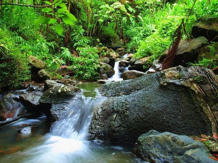
Pico El Yunque or El Yunque Peak is a mountain that is located fully within the boundaries of the El Yunque National Forest, part of the U.S. Forest Service, which is the only tropical rainforest that belongs to the U.S. Forest Service. The peak itself is one of the highest in Puerto Rico, standing at 1,080 meters (3543 feet) above sea level. The peak is nearly always covered in thin mist and, due to its high humidity, a quick shower develops during some afternoons.
Contents
Map of El Yunque, R%C3%ADo Grande 00745, Puerto Rico
Its name is Spanish for "The Anvil".
Neighboring Peaks
Climate
Classified as having a tropical monsoon climate which is rare, and tends to see less variance in temperatures during the course of the year than a tropical savanna climate. The Köppen Climate Classification subtype for this climate is "Am" (Tropical Monsoon Climate). Area receives over 100 inches of rainfall every year.