
Elevation 142 m (466 ft) Area 100.7 km² Population 3,155 (2014) | Website www.elperello.cat Local time Wednesday 3:41 AM | |
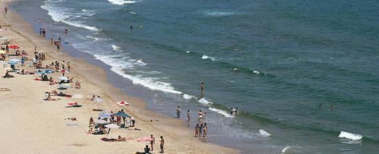 | ||
Demonym(s) Perellonenc, perellonenca Weather 14°C, Wind NW at 27 km/h, 67% Humidity Points of interest Costa Daurada, Platja Santa Llúcia | ||
El Perelló is a municipality in the comarca of the Baix Ebre in Catalonia, Spain. It is situated in the north of the comarca, below the Boix and Cabrafeixet ranges. The N-340 road runs around the town, and connects it with the A-7 autopista at l'Ampolla.
Contents
Map of El Perell%C3%B3, Tarragona, Spain
Demography
The municipality of l'Ampolla formed part of el Perelló until 1990: their combined population as of 2007 is 2895. Populations below are for the territory of el Perelló as defined at the date given.
References
El Perelló Wikipedia(Text) CC BY-SA