
Country Algeria Time zone CET (UTC+1) Local time Wednesday 3:11 AM | Elevation 431 m (1,414 ft) Area 7,950 km² Population 7,343 (2008) | |
 | ||
Weather 14°C, Wind NE at 6 km/h, 26% Humidity | ||
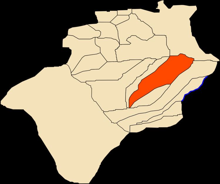
El Ouata (Arabic: اﻟﻮ ﻃﺎء) is a town and commune in Béchar Province, western Algeria. The commune is coextensive with El Ouata District, which is named after the town. According to the 2008 census its population is 7,343, up from 7,014 in 1998, with an annual population growth rate of 0.5%. The commune covers an area of 2,870 square kilometres (1,110 sq mi).
Contents
Map of El Ouata, Algeria
Geography
El Ouata lies on the left (northeast) bank of the Oued Saoura in the Saoura valley. The Grand Erg Occidental, a large area of continuous sand dunes lies to the east, while the rocky ridges of the Ougarta Range rise to the west, running from northwest to southeast along the opposite side of the river from the town.
Climate
El Ouata has a hot desert climate, with extremely hot summers and warm winters, and very little precipitation throughout the year.