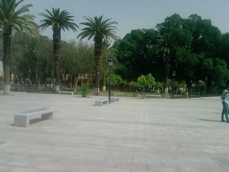
Country Morocco Elevation 1,300 ft (400 m) Local time Wednesday 1:03 AM | Region Marrakesh-Safi Time zone WET (UTC+0) | |
 | ||
Weather 16°C, Wind SE at 3 km/h, 54% Humidity | ||
el kelaa des sraghna
El Kelaa des Sraghna (Arabic: قلعة السراغنة, lit. "The Castle of Seraghna"; alternative names include El Kelaa des Srarhna, al-Qalat-as-Saragnah and others) is a town in central Morocco. . The economy of the towns is mostly based on agriculture, the growing of olive trees being predominant.
Contents
Map of El Kelaa des Sraghna, Morocco
History
According to some historical references, the Alaouite Sultan Moulay Ismail established the city, Kelaat Sraghnas in the 17th century. The Sultan had aimed to found citadels and Quasbas to control the movements of mountainous tribes. Other references state that the existence of the city refers to the period of the Almoravids. According to other sources, the city was known as the Berbers designations such as "Gaynou" Lagrare, and it was founded by the Almoravids like a project to monitor the road between Fes and Marrakesh, to populate the area and fight against Berghouata’s heresy. Nevertheless, some manuscripts cite evidence that Saadian Dynasty founded the city in the late of sixteenth century and it was known as designation "Kelaat Lagrare".
