Kalpana Kalpana (Editor)

El Carmen de Bolívar

Updated on
Edit
Like
Comment
Share on FacebookTweet on TwitterShare on LinkedInShare on Reddit
Country
  
Colombia

Founded
  
1776

Demonym(s)
  
Carmero

Area
  
954 km²

Local time
  
Tuesday 5:48 PM

Department
  
Bolívar Department

Elevation
  
197 m (646 ft)

Area code(s)
  
57 + 5

Population
  
159,987 (2015)

El Carmen de Bolívar wwwregistraduriagovcoIMGjpgBolivarjpg

Weather
  
31°C, Wind NW at 13 km/h, 56% Humidity

Partido real cartagena en el carmen de bol var


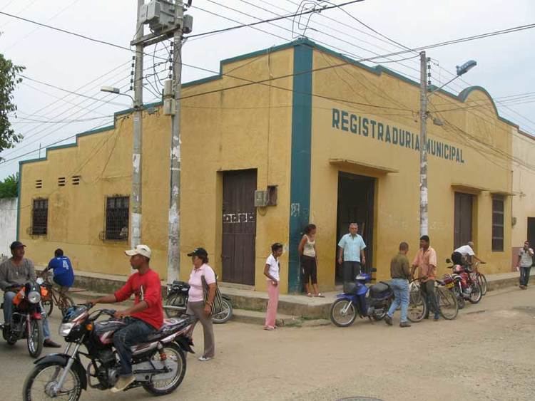
El Carmen de Bolivar is a municipality in the department of Bolivar, Colombia, 114 km southeast of Cartagena, in the mountain system of the Serrania de San Jacinto, near the Colombian Caribbean coast.

Contents

Map of El Carmen de Bol%C3%ADvar, El Carmen de Bolivar, Bolivar, Colombia

History

This area was initially inhabited by the Native American tribes of Malibúes, Farotos and Piletas, was later conquered and colonized by the Spanish naming it sitio de Nuestra Señora del Carmen or "Our Lady of El Carmen site" in 1776 by a Spanish officer named Antonio de La Torre y Miranda and under the orders of Juan de Torrezal Díaz de Pimienta, Governor of Cartagena of Indies.

Geography

The municipality of El Carmen de Bolivar is located south of the municipality of San Jacinto, north of the municipality of Ovejas, Sucre west of the municipalities of Zambrano and Córdoba and east of the municipality of San Onofre, Sucre, covering a total area of 954 km².

Corregimientos

  • Caracolí Grande: subdivided into the veredas and caseríos of La Cansona, Ojo Seco, El Ojito, Camaroncito, El Coco, La Zarza, Hondible, El Algodón and Lazaro.
  • Macayepos: Subdivided into the caseríos and veredas of Limón, Joján, Jojancito, La sierra, El Cielo, El Orejero, Venado, Berruga, Centro Alegre, Berruguita and El Aguacate.
  • Bajo Grande: formed by the caseríos and veredas of Santa Lucía, Raizal, La Pita, Pozo Oscuro, La Florida and Carocolicito.
  • San Carlos: formed by the caseríos and veredas of El Bajito, Buenavista, Tierra Grata, La Victoria, El Alférez, Guamito and El Sapo.
  • El Hobo: formed by the caseríos and veredas of Guaimito, Mazingá, Turquía, Sabaneta and La Puente.
  • El Salado: formed by the caseríos and veredas of Jacinto, Tacaloa, El Varguero, Arenas del Sur, Mata caballo, El Reforma, El Umbral and La Estrella.
  • San Isidro: formed by the caseríos and veredas of Guamanga, Mamón de María, Romualdo, Pasa Corriendo, Camarón, Caña Salada, Arroyo lejo, Las Lajas and Las Lajitas.
  • Jesús del Monte: formed by the caseríos and veredas of Hato Nuevo, Mandatú, El Bongal, Apure, Piedras Blancas, Las vacas, Motaperro, Calsoncito, El Bledo, Piedra Azul, La Cesta, El Ceibal, La Negra, San Martín, El Encanto, Rebulicio and Los Andes.
  • References

    El Carmen de Bolívar Wikipedia


    Similar Topics