
Time zone UTC -3 Dial plan +598 2 (+7 digits) | Postal code 15004 Population 988 (2011) | |
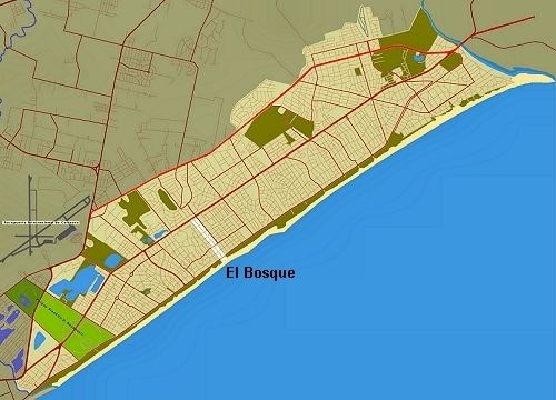 | ||
El Bosque is a small neighbourhood of Ciudad de la Costa in the Canelones Department of southern Uruguay.
Contents
- Map of El Bosque Ciudad de la Costa Canelones Department Uruguay
- Location
- History
- Demographics
- Transport
- References
Map of El Bosque, Ciudad de la Costa, Canelones Department, Uruguay
Location
This neighbourhood is located just southeast of Lagomar and west of Solymar. In 2004 it had a population of 941. Its area is merely 0.33 square kilometres (0.13 sq mi).
History
Civilization on the land was launched in 1953 on five acres owned by brothers Oscar and Rupert Crapuchette under the initiative of Mariano Almenera. The name means "The Forest" in Spanish. The area extended between 1985 and 1996 when its population grew by over 70%.
Demographics
In 2011 El Bosque had a population of 988.
Source: Instituto Nacional de Estadística de Uruguay
Transport
Route 10 passes along the seafront leading from Carrasco, known as the Rambla de Montevideo. The main roads are Avenida Luis Giannattasio which stretches along the length of the Ciudad de la Costa, along which are concentrated the main commercial and service activities of the place, Avenida Secco Garcgua, Avenida Oscar Gestido and Calle 76.