
Country Algeria Elevation 1,347 m (4,419 ft) ONS code 3201 Area 497 km² Postal code 32000 Number of airports 1 | Time zone CET (UTC+01) Climate BSk Local time Tuesday 11:17 PM | |
 | ||
Weather 7°C, Wind NE at 18 km/h, 79% Humidity | ||
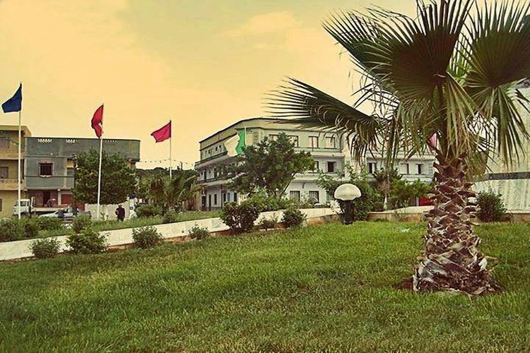
El Bayadh (Arabic: البيض) is a municipality of Algeria. It is the capital of El Bayadh Province. This town was known as Géryville during the French colonization of Algeria.
Contents
Map of El Bayadh, Algeria
Geography
The Ksour Range is a mountainous area extending between Figuig and El Bayadh.
References
El Bayadh Wikipedia(Text) CC BY-SA