
Time zone EET (UTC+2) Local time Tuesday 10:48 PM | Elevation 819 m (2,687 ft) Vehicle registration ΙΝ | |
 | ||
Weather 4°C, Wind E at 11 km/h, 94% Humidity | ||
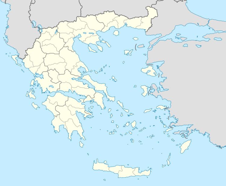
Egnatia (Greek: Εγνατία) is a former municipality in the Ioannina regional unit, Epirus, Greece. Since the 2011 local government reform it is part of the municipality Metsovo, of which it is a municipal unit. The municipal unit has an area of 131.424 km2. In 2011 its population was 2,331. The seat of the municipality was in Mikro Peristeri. The municipal unit is connected with both the GR-6/E92 (Larissa - Ioannina - Igoumenitsa) and the new Via Egnatia.
Contents
Map of Egnatia 455 00, Greece
Subdivisions
The municipal unit Egnatia is subdivided into the following communities (constituent villages in brackets):
References
Egnatia, Ioannina Wikipedia(Text) CC BY-SA