
Admin. region Oberbayern Area 19.16 km² Population 2,117 (31 Dec 2008) | Time zone CET/CEST (UTC+1/+2) Local time Tuesday 9:43 PM Postal code 85658 | |
 | ||
Weather 2°C, Wind SW at 13 km/h, 100% Humidity | ||
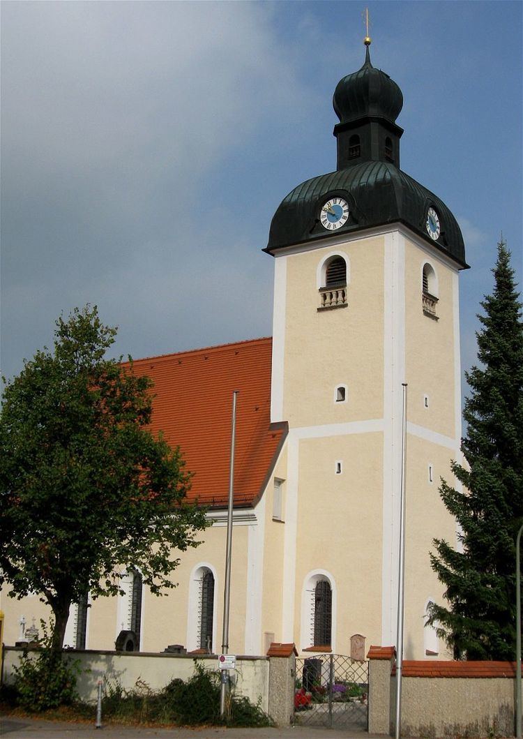
Egmating is a community in the Upper Bavarian district of Ebersberg. It is a member of the administrative community (Verwaltungsgemeinschaft) of Glonn.
Contents
- Map of 85658 Egmating Germany
- Geography
- History
- Population development
- Politics
- Economy and infrastructure
- Education
- References
Map of 85658 Egmating, Germany
Geography
Egmating lies in the Munich region. It includes one traditional rural land unit – Gemarkung in German – also called Egmating.
The constituent communities of Orthofen, Neuorthofen, Lindach, Münster und Neumünster are to be found within Egmating.
History
Egmating belonged to the Lord (Freiherr) of Hornstein. It was part of the Electorate of Bavaria and was a lordly estate.
Population development
The community’s land area was home to 1,180 inhabitants in 1970, 1,388 in 1987 and 1,639 in 2000.Ok?
Politics
The community’s mayor (Bürgermeister) is Ernst Eberherr (CSU/FWG).
The community’s tax revenue in 1999, converted into euros, was €765,000, of which €45,000 was from business taxes.
Economy and infrastructure
In 1998, according to official statistics, the field of industry employed 25 workers on the social insurance contribution rolls. In transport and trade, however, there were none. Also, 547 people on the aforesaid rolls worked from their homes, and 77 were employed in other fields. There were four processing businesses. There were five businesses in contracting. Furthermore, in 1999, there were 38 agricultural businesses with a total productive land area of 744 ha, of which 494 ha was meadowland.
Education
In 1999, the following institutions could be found in Egmating: