
Population 81 (2001) Civil parish Egerton Local time Tuesday 7:31 PM | OS grid reference SJ522520 Dialling code 01829 | |
 | ||
Weather 8°C, Wind S at 16 km/h, 67% Humidity | ||
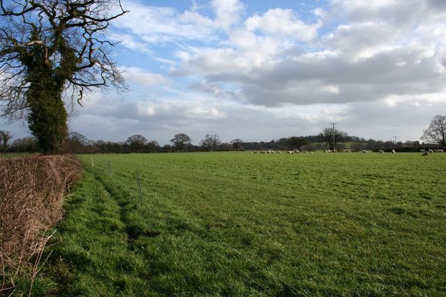
Egerton is a civil parish in Cheshire, England. A largely rural area, the parish includes the small settlement of Egerton Green (at SJ522520), which lies 3¾ miles to the north east of Malpas and 8 miles to the west of Nantwich, as well as Fairy Glen. The population is less than 100. Nearby villages include Bickerton, Bulkeley and No Man's Heath.
Contents
Map of Egerton, UK
History
In the Middle Ages, an ancestor of the Sir Roland Egerton, 1st Baronet, William le Belward, took the surname of Egerton from the lordship of Egerton, Cheshire, which he inherited. His descendants, the Egerton family, include the dukes of Bridgewater and Sutherland.
Governance
Egerton is administered jointly with Bickerton by the Bickerton & Egerton Parish Council. From 1974 the civil parish was served by Crewe and Nantwich Borough Council, which was succeeded on 1 April 2009 by the unitary authority of Cheshire East. Egerton falls in the parliamentary constituency of Eddisbury, which has been represented by Antoinette Sandbach since 2015, after being represented by Stephen O'Brien (1999–2015).
Geography
Egerton is predominantly flat, with an elevation of around 100 metres. Bickerton Road runs through the north, connecting Bickerton School with the A49, and a second lane connects Bickerton Road with the A41. National Cycle Routes 45 and 70 follow the lanes. Bickley Brook runs broadly north–south through the parish. There is a small area of woodland near Egerton Bank Farm in the south of the civil parish.
Demography
According to the 2001 Census, the parish had a population of 81. At the 2011 Census the population remained less than 100. This represents a decline from the population of 1851; historical population figures are 103 (1801), 127 (1851), 113 (1901) and 97 (1951).
Landmarks
The parish contains one listed building, the remains of a chapel to the west of Egerton Hall, which was demolished in 1760. The chapel dates from the 14th century, and the remains consist of three sandstone walls, which contain two windows.
Education
There are no schools within the civil parish. Egerton falls within the catchment areas of Bickerton Holy Trinity CE Primary School in Bickerton and Bishop Heber High School in Malpas.