
 | ||
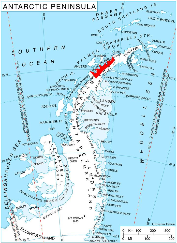
Egerika Range (Bulgarian: хребет Егерика, ‘Hrebet Egerika’ \'hre-bet e-ge-'ri-ka is the mostly ice-covered range extending 16.2 km in south-north direction and 7 km wide, rising to 1200 m in the north foothills of Herbert Plateau on Danco Coast in Graham Land, Antarctica. It is connected to Obretenik Bastion to the south by Kormyansko Saddle, and surmounts Blériot Glacier to the west, Hughes Bay to the northwest and Cayley Glacier to the east.
Contents
The range is named after the Thracian settlement of Egerika in Western Bulgaria.
Location
Egerika Range is centred at 64°23′20″S 61°02′15″W. British mapping in 1978.
Maps
References
Egerika Range Wikipedia(Text) CC BY-SA