
Country Canada Constituted November 17, 1920 Postal code(s) J9E 3A9 Local time Tuesday 2:10 PM Province Québec RCM Outaouais | Region Outaouais Time zone EST (UTC−5) Area 50.9 km² Population 542 (2011) Area code 819 | |
 | ||
Weather 3°C, Wind SE at 14 km/h, 100% Humidity | ||
Egan-Sud is a municipality in the La Vallée-de-la-Gatineau Regional County Municipality, Quebec, Canada, directly north of Maniwaki.
Contents
Map of Egan-Sud, QC, Canada
Egan-South has a residential, agricultural, and commercial character, the latter mainly concentrated along Highway 105.
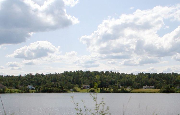
To protect the water quality of Evens Lake and highlight the beauty of it, the city council plans to build an illuminated water fountain in its centre. In addition to being visible from Highway 105, the fountain would increase oxygenation of the lake. In the winter, Evens Lake is home to the largest ice rink built by the MRC, having a circular route of about 1.2 kilometres (0.75 mi) long.
History
Settlement in this area by Europeans began in the mid-nineteenth century. By 1863, there was a population of 140 people, most of Irish origin and almost all Catholics. In 1864, the Egan Township was proclaimed, named in memory of John Egan (1811-1857), an Irish immigrant, owner of large logging concessions in the Outaouais, and holder of several political offices. In 1881, the Municipality Township of Egan was formed.
In 1920, Egan Township was split up into the municipalities of Egan-Sud, Bois-Franc, and Montcerf (now Montcerf-Lytton).
Demographics
Population trend:
(R) = Revised count.
The language statistics are as follows (as of the 2006 Census): 89% of Egan-Sud speak French as their first language, 4% speak English as their first language, 3% speak both French and English as a first language and 4% have a different first language.