
- left Mistake Creek Basin area 7,521 km² Mouth elevation 0 | - location Curlew Range Length 208 km | |
 | ||
- right The Overflow, Melonhole Creek Mouths | ||
The Edward River is a river located in Far North Queensland, Australia.
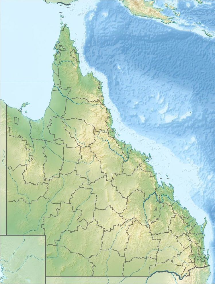
The headwaters of the river rise in the Curlew Range in the Great Dividing Range and flow in a westerly direction. The river flows across mostly uninhabited plains country and discharges into the Gulf of Carpentaria. The mouth of the Edward River is located on the western shore of Cape York Peninsula, the eastern edge of the Gulf of Carpentaria. The river descends 144 metres (472 ft) over its 208-kilometre (129 mi) course.
The drainage basin of the river occupies an area of 7,521 square kilometres (2,904 sq mi) of which an area of 167 square kilometres (64 sq mi) is made up of estuarine wetlands.
The township of Pormpuraaw, formerly known as the remote Aboriginal community of Edward River with a population of approximately 350 to 380 people, is located 6.5 kilometres (4 mi) south-southeast of the river mouth.
The river was named by the surveyor, John Thomas Embley, in 1884 after his brother Dr Edward Henry Embley who worked as an anaesthetist in Melbourne.