
Time zone Eastern (EST) (UTC-5) GNIS feature ID 0597374 Zip code 20781 Population 1,488 (2013) | FIPS code 24-25425 Elevation 6 m Local time Saturday 7:12 AM Area code 301 | |
 | ||
Weather -4°C, Wind NW at 11 km/h, 48% Humidity Area 104 ha (101 ha Land / 3 ha Water) | ||
Edmonston is a town in Prince George's County, Maryland, in the United States. As of the 2010 census, the town population was 1,445.
Contents
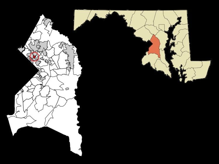
- Map of Edmonston MD USA
- History
- Complete Green Street
- Government
- Bordering areas
- Geography
- 2010 census
- 2000 census
- Education
- References
Map of Edmonston, MD, USA
It is located 2.5 miles (4.0 km) from Washington, D.C. Edmonston's ZIP code is 20781.
History
The area of present-day Edmonston probably acquired its name from Captain James Edmonston, a member of a prominent Bladensburg, Maryland, family. He was called "Captain" because he owned a large ship. In 1742, he paid five shillings for a piece of land upon which the town of Edmonston eventually developed. The Edmonston Family had been active in local Revolutionary War effort and were descendants of the Family Edmonstone of Duntreath Castle, Scotland.
The first modern settlers of the community were Adam Francis Plummer and his wife Emily Saunders Arnold Plummer, who had been slaves of the powerful Calvert family on the Riversdale Plantation in present-day Riverdale Park. After the Civil War, Adam Plummer purchased ten acres of land for $1000, south of the plantation and sought out and recovered family members that had been sold during slavery to deep south plantations, thus establishing the settlement. A skilled horticulturalist, Plummer named the settlement Mt. Rose after his favorite plant and copious rose gardens. Notably, Adam Plummer kept a diary as a slave which today is the only known living slave diary and is a featured exhibit of the Smithsonian Institution.
Two subdivisions that would later comprise the town of Edmonston were platted in 1903: East Hyattsville and Palestine. The eastern section was developed in 1903 by J. Harris Rogers on two parcels of land he purchased in the 1880s and 1890s. Rogers platted 70 acres (280,000 m2) into a subdivision of more than 170 lots known as East Hyattsville. The western half began with the subdivision of Dr. Charles A. Wells. Wells purchased the 90-acre (360,000 m2) Palestine Farm from Benjamin Franklin Guy in 1878 and 1879 and continued the farm's dairy operations until 1903. In that year, 25 of the farm's acres were subdivided into 62 building lots of various sizes. Within the first decade, 55 houses were constructed in both subdivisions and many of them remain today. The earliest buildings were simple vernacular buildings such as the "I" house that were later adapted to the constraints of the narrow suburban building lot.
In the late 19th century, a pumping station was constructed in the Palestine subdivision that supplied water to the city of Hyattsville. In 1920, operations were taken over by the Washington Suburban Sanitary Commission. Also in the Palestine subdivision was the first school to serve the future town of Edmonston. Constructed in 1915, the building has undergone several phases of additions and alterations.
After World War I, the residents of East Hyattsville and Palestine began a movement toward incorporation to improve services. Compared to the established Hyattsville, incorporated in 1886, East Hyattsville contained more working class residents, more modest houses, and more immigrants. When incorporating in 1924, the residents decided to choose a name that would give the town an identity independent from Hyattsville and chose "Edmonston" after a major north-south road adjacent to the town and the original landowner. By 1924, there were several hundred residents; at 49th Avenue and Decatur Street, there was a small neighborhood center with a few stores and a post office. Only the small grocery store remains today. The first items on the agenda for the new municipality were street paving and lighting, construction of a concrete bridge across the Anacostia River, and arrangement with the fledgling Washington Suburban Sanitary Commission to bring water and sewer pipes into the town.
Edmonston's mayor in 1927 was Kinjiro Matsudaira, the grandson of a Japanese feudal lord. His election received attention in the Philadelphia press at the time with the somewhat inaccurate lead, "Japanese Elected Mayor of American City for the First Time in History." His father, Tadaatsu, came to the United States in 1872 to study and stayed to marry an American woman and pursue a distinguished career in civil engineering. Kinjiro Matsudaira, born in Pennsylvania in 1885, was elected Mayor of Edmonston for a second time in 1943, during World War II.
In 1925, an undeveloped part of the original Palestine subdivision was platted as the Funkhouser subdivision. The land was divided into 40 lots upon which Robert Funkhouser constructed a small bungalow on each. The houses were completed in 1926 and quickly sold. Throughout the 1930s and 1940s, development consisted of sporadic house construction on vacant lots within the established subdivisions. After World War II, the Edmonston Terrace subdivision was constructed consisting of an organized development of 41 nearly identical two-story, brick side-gable houses. Residential construction during the 1950s and 1960s returned to infill. Also constructed during the 1960s was the Fountain Park apartment complex.
From 2003-2006, Edmonston struggled from a series of floods resulting from high volumes of stormwater and the now-inadequate flood pumping station. The Town successfully advocated Prince George's County Government for a new state-of-the-art $6 million facility, which received recognition for its utilization of three massive Archimedes Screws, a flood pumping technology developed by the ancient Greek mathematician rarely utilized on such a scale in the United States.
Complete Green Street
In November 2009, the Town broke ground on its "Green Street" in a ceremony attended by US Environmental Protection Agency (EPA) Administrator Lisa Jackson. The completed project was dedicated in November 2010 with significant national attention for pioneering the combination of low impact development and complete street principles. The street features LED streetlights, a green power purchase agreement, elevated crosswalks, traffic calming bump-out raingardens and permeable pavement bike lanes that together capture nearly 100% of stormwater runoff. The project has received various awards and recognition, including an "Innovations in Infrastructure" award by the White House's Champions for Change Program and sparked the adoption of policies requiring complete green streets in municipalities nationwide.
Government
The Edmonston municipal government consists of four members of council and a mayor who, beginning in May 2008, are elected to three-year terms. Elected positions are essentially volunteer in nature and are paid a small stipend for expenses. The structure of the government is a mostly "strong" mayor system, meaning that the mayor has administrative control over government operations and presents his or her budget each year for adoption, though the appointment of department heads must meet the approval of the council. Edmonston's mayor sits as president of the council, though can only vote to break a tie on the council.
Current elected officials:
Current Town Administrator:
Current Chief of Police:
Bordering areas
Geography
Edmonston is located at 38°57′3″N 76°56′0″W (38.950793, -76.933423).
According to the United States Census Bureau, the town has a total area of 0.40 square miles (1.04 km2), of which, 0.39 square miles (1.01 km2) is land and 0.01 square miles (0.03 km2) is water.
2010 census
As of the census of 2010, there were 1,445 people, 445 households, and 305 families residing in the town. The population density was 3,705.1 inhabitants per square mile (1,430.5/km2). There were 483 housing units at an average density of 1,238.5 per square mile (478.2/km2). The racial makeup of the town was 27.8% White, 32.5% African American, 0.6% Native American, 2.1% Asian, 0.3% Pacific Islander, 33.2% from other races, and 3.6% from two or more races. Hispanic or Latino of any race were 48.3% of the population.
There were 445 households of which 44.5% had children under the age of 18 living with them, 43.4% were married couples living together, 14.2% had a female householder with no husband present, 11.0% had a male householder with no wife present, and 31.5% were non-families. 23.1% of all households were made up of individuals and 5.3% had someone living alone who was 65 years of age or older. The average household size was 3.25 and the average family size was 3.73.
The median age in the town was 31 years. 28.1% of residents were under the age of 18; 11.3% were between the ages of 18 and 24; 31.5% were from 25 to 44; 23.6% were from 45 to 64; and 5.6% were 65 years of age or older. The gender makeup of the town was 52.1% male and 47.9% female.
2000 census
As of the census of 2000, there were 959 people, 303 households, and 216 families residing in the town. The population density was 2,591.0 people per square mile (1,000.7/km²). There were 330 housing units at an average density of 891.6 per square mile (344.4/km²). The racial makeup of the town was 43.59% White, 41.08% African American, 0.52% Native American, 1.36% Asian, 10.32% from other races, and 3.13% from two or more races. Hispanic or Latino of any race were 19.19% of the population.
There were 303 households out of which 37.3% had children under the age of 18 living with them, 47.2% were married couples living together, 16.2% had a female householder with no husband present, and 28.7% were non-families. 21.5% of all households were made up of individuals and 7.3% had someone living alone who was 65 years of age or older. The average household size was 3.17 and the average family size was 3.69.
In the town, the population was spread out with 31.0% under the age of 18, 8.4% from 18 to 24, 31.7% from 25 to 44, 21.2% from 45 to 64, and 7.7% who were 65 years of age or older. The median age was 34 years. For every 100 females there were 94.9 males. For every 100 females age 18 and over, there were 96.4 males.
The median income for a household in the town was $52,813, and the median income for a family was $56,875. Males had a median income of $35,966 versus $33,846 for females. The per capita income for the town was $19,830. About 1.9% of families and 6.0% of the population were below the poverty line, including 1.0% of those under age 18 and 8.4% of those age 65 or over.
Education
Edmonston is zoned to Prince George's County Public Schools: