
Time zone EET (UTC+2) Licence plate 51 Population 5,996 (2011) | Postal code 51040 Elevation 1,384 m Area code 0388 | |
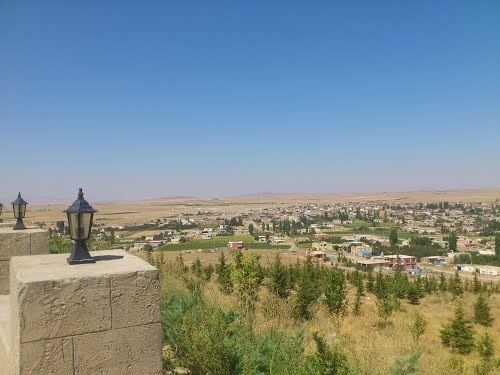 | ||
Edikli is a belde (town) in the central district (Niğde) of Niğde Province, Turkey. At 38°15′N 34°57′E it is at the east of Misli plains. Distance to Niğde is about 45 kilometres (28 mi). The population of the town is 5996 as of 2011. The settlement was known to be a Seljuk settlement. But it was ruined during the Mongol invasion in the 13th century. According to inscriptions on the oldest mosque of the town, the settlement was refounded in 1730s, during the Ottoman era. In 1970 it was declared a seat of township. Main agricultural product of the town is potato. Other crops like apple and nuts are also produced.
Map of Edikli, 51040 Edikli Belediyesi%2FNi%C4%9Fde Merkez%2FNi%C4%9Fde, Turkey
References
Edikli, Niğde Wikipedia(Text) CC BY-SA