
Length 53.9 km | ||
 | ||
East end: | ||
Edgerton highway mccarthy road
The Edgerton Highway is a minor highway in the U.S. state of Alaska that extends 33 miles (53 km) from the Richardson Highway near Copper Center to the town of Chitina. The McCarthy Road, within the Wrangell-Saint Elias National Park and Preserve, is a 58-mile (93 km) extension from Chitina to McCarthy.
Contents
- Edgerton highway mccarthy road
- Map of Edgerton Hwy Alaska USA
- Mi 5 8 edgerton highway copper center alaska 99573
- Route description
- Major junctions
- References
Map of Edgerton Hwy, Alaska, USA
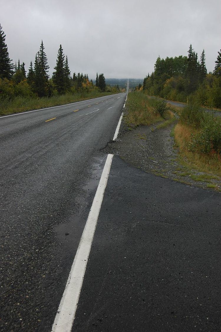
The Edgerton Highway, named for U.S. Army Major General Glen Edgar Edgerton, a member of the Alaska Road Commission, follows an old pack trail along the Copper River, and is paved. The popular dip-net salmon fishery in Chitina causes the highway to be fairly heavily used in summer. It is part of Alaska Route 10.
Mi 5 8 edgerton highway copper center alaska 99573
Route description
The Edgerton Highway begins at its junction with the Richardson Highway at Pippin Lake in the rural community of Kenny Lake. The highway travels east-northeast through rural Kenny Lake before reaching an intersection with the Old Edgerton Highway and turning southeast. The highway continues through several miles of forest along the Copper River, crossing several small affluents. The roadway passes the Chitina Airport, ending at its junction with the McCarthy Road after passing through the ghost town of Chitina.
Major junctions
The entire route is in Valdez-Cordova Borough.