Country Canada Census division 7 Postal code span T0B 1K0 Local time Saturday 2:01 AM Province Alberta | Time zone MST (UTC-7) Elevation 650 m Population 384 (2016) Waterway Ribstone Creek Brewery | |
 | ||
Weather -23°C, Wind E at 6 km/h, 82% Humidity | ||
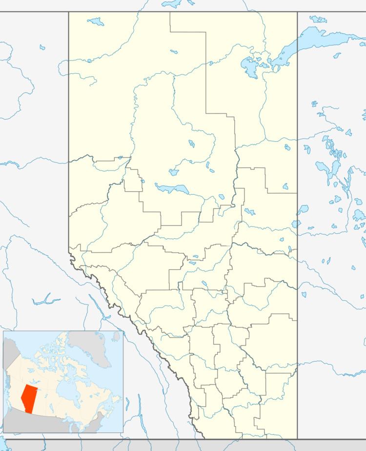
Edgerton is a village in central Alberta, Canada. it is located 35 kilometres (22 mi) east of Wainwright.
Contents
Map of Edgerton, AB, Canada
The village has the name of H. H. Edgerton, a railroad official.
Demographics
In the 2016 Census of Population conducted by Statistics Canada, the Village of Edgerton recorded a population of 384 living in 177 of its 192 total private dwellings, a 7001211000000000000♠21.1% change from its 2011 population of 317. With a land area of 2.04 km2 (0.79 sq mi), it had a population density of 188.2/km2 (487.5/sq mi) in 2016.
The Village of Edgerton's 2012 municipal census counted a population of 401, a 2.0% increase over its 2007 municipal census population of 393.
In the 2011 Census, the Village of Edgerton had a population of 317 living in 151 of its 166 total dwellings, a -15% change from its 2006 population of 373. With a land area of 1.89 km2 (0.73 sq mi), it had a population density of 167.7/km2 (434.4/sq mi) in 2011.
In 2006, Edgerton had a population of 373 living in 164 dwellings, a 7.4% decrease from 2001. The village has a land area of 1.22 km2 (0.47 sq mi) and a population density of 306.5/km2 (794/sq mi).
Education
There is one school in Edgerton covering kindergarten - 12. Edgerton Public School is one of twenty that come under the responsibility and direction of the Buffalo Trail Regional School Division.
