
Time zone CET/CEST (UTC+1/+2) Area 4.41 km² | Elevation 476 m (1,562 ft) Postal codes 86368 Postal code 86368 Dialling code 08230 | |
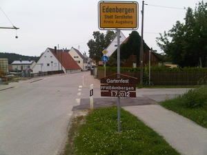 | ||
Edenbergen is a village and a former municipality in the district Augsburg in Bavaria, Germany. Since 1 January 1978, it is part of the municipality of Gersthofen. Edenbergen incorporates the hamlets of Gailenbach and Gailenbacher Mühle.
Contents
Map of Edenbergen, 86368 Gersthofen, Germany
Geography
Edenbergen is located at an altitude of 476 meters (1,562 feet) above sea level on a ridge between Böglebach to the north and Gailenbach to the south. These two creeks run through the village from the west to the east where they empty into the Schmutter river. The Gailenbacher Mühle (Gailenbach mill) lies on the banks of the Schmutter and belongs to Edenbergen as well as Gailenbach, a small hamlet in the southeast of Edenbergen.
Population
Edenbergen is the smallest village of the municipality of Gersthofen and amounts only to about 1.5 percent of the town's total population. On 1 July 2009, 304 people lived in Edenbergen, 148 females and 156 males. This corresponds to a proportion of women of 48.7 percent. At that time, the population density of Edenbergen was 69 inhabitants per square kilometer (179 per square mile).
Religion
Roman Catholics comprise most of the population in Edenbergen and belong to the parish of Batzenhofen, a village half a mile east of Edenbergen and part of the Diocese of Augsburg. There is no church building in Edenbergen, but three chapels dedicated to the Blessed Virgin Mary.