
PIN 670645 Elevation 792 m ISO 3166 code ISO 3166-2:IN | Time zone IST (UTC+5:30) Telephone Code +91 4935 Population 15,620 (2001) | |
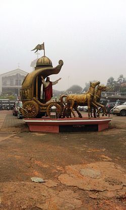 | ||
Edavaka is a Gram Panchayat in the Wayanad district of the Kerala State, India.
Contents
Demographics
As of 2001 India census, Edavaka had a population of 15,620 with 7,939 males and 7,681 females.
Major Landmarks
Towns in the Panchayath
The following little towns are part of Edavaka panchayath jurisdiction.
Cattle Market
Every Friday and Tuesday, a cattle market conducted in the village. The Panchayath has built an expensive wallless building for this purpose.
Transportation
Edavaka village is very near Mananthavady town. The Periya ghat road connects Mananthavady to Kannur and Thalassery. The Thamarassery mountain road connects Calicut with Kalpetta. The Kuttiady mountain road connects Vatakara with Kalpetta and Mananthavady. The Palchuram mountain road connects Kannur and Iritty with Mananthavady. The road from Nilambur to Ooty is also connected to Wayanad through the village of Meppadi.
The nearest railway station is at Mysore and the nearest airports are Kozhikode International Airport-120 km, Bengaluru International Airport-290 km, and Kannur International Airport, 58 km.