
Province Çanakkale Time zone EET (UTC+2) Area 468 km² Area code 286 | Region Marmara Elevation 0 m (0 ft) Postal code 17xxx Local time Friday 11:05 PM | |
 | ||
Weather 8°C, Wind NE at 21 km/h, 94% Humidity Points of interest Çanakkale Martyrs' Memorial, Kilitbahir Castle, Namazgah Tabyası, ANZAC Cove, Helles Memorial | ||
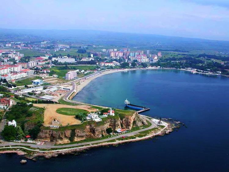
Eceabat, formerly Maydos (Madytos, Μάδυτος in Ancient greek), is a town and district of Çanakkale Province in the Marmara region of Turkey, located on the eastern shore of the Gelibolu Peninsula, on the Dardanelles Strait. According to the 2010 census, population of the district is 9,154 of which 5,380 live in the town of Eceabat. The district covers an area of 468 km2 (181 sq mi), and the town lies at an elevation of 0 m (0 ft).
Map of 17900 Eceabat%2F%C3%87anakkale, Turkey
Eceabat has been used as a departure point for people swimming the Hellespont to Çanakkale on the other side of the Dardanelles Strait.
Eceabat is the nearest town to the World War I Gallipoli Campaign battlefields of 1915, cemeteries and memorials to the more than 120,000 soldiers fallen from Turkey, the United Kingdom, France, Australia and New Zealand. The name Eceabat could be originated from the Arabic military word "Hijabat" which means the most forward command point from the battlefield; this could also explain the change from the original name Madytos.